Line © OpenStreetMap contributors (ODbL), checked by Global Adventurer.
The walk
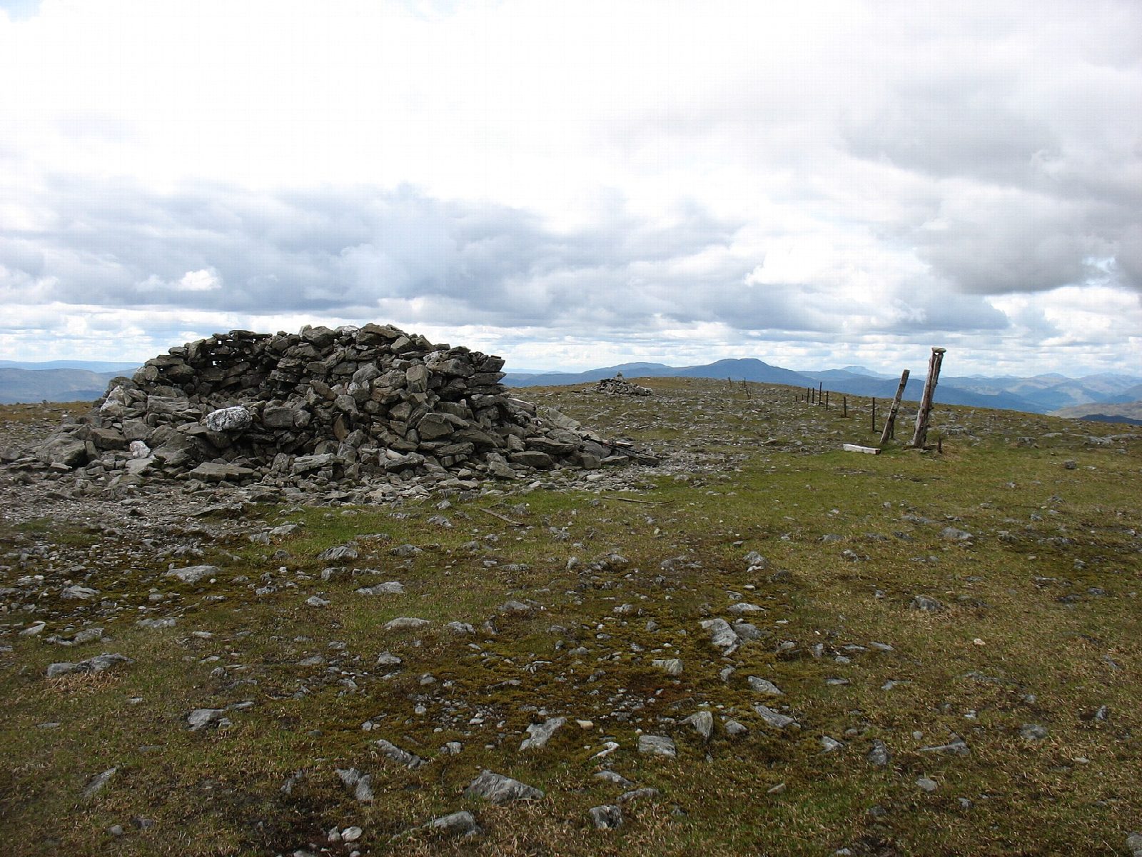
The walk starts from a car park near Invergeldie in Glen Lednock and goes out and back to the summit. About two-thirds of the way is on a hill track, and the rest is on path. The track rises steadily up the hillside, and a path then continues over the broad, rounded upper slopes to the summit of Ben Chonzie (930 m).
The route is 12.5 km with 715 m of ascent; allow about 5½ hours. The grade is Moderate, and this is one of the more straightforward Munros, but the top is broad with few landmarks, so in mist you will need a map and compass to find the summit and the way back to the track. Look out for mountain hares, which are common here and turn white in winter. Winter snow and ice make the hill more serious. There are no mapped water sources on the route.
Glen Lednock is reached by the narrow road up the glen from Comrie. Park at the car park near Invergeldie, keeping gates and farm access clear.
Route drawn by Global Adventurer along OpenStreetMap paths (© OpenStreetMap contributors, ODbL), with figures worked out from it. Check the forecast and the ground on the day: paths change.
Good to know
- Known for its mountain hares
- A land-rover track takes you most of the way
- One of the more straightforward Munros
Summits on the way
- Ben Chonzie 930 m
Getting there
Start: Invergeldie. 56.42092, -4.03937
Places to stay nearby
Rooms in and around Perthshire: Booking.com → Expedia →
Affiliate links: if you book, Global Adventurer earns a small commission at no cost to you.
Paths change, and the weather decides the day. The line and figures come from OpenStreetMap and our own checks; take a map, check the forecast, and turn back if it isn't right.


