Line © OpenStreetMap contributors (ODbL), checked by Global Adventurer.
The walk
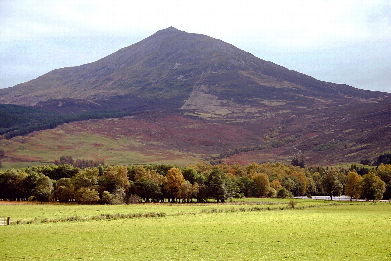
The walk starts from the Braes of Foss car park and goes out and back along the east ridge. A rebuilt path climbs the lower slopes, and higher up the ridge becomes a long, bouldery crest leading to the summit of Schiehallion (1,083 m). Almost all of it is on path, with rough mountain path on the upper section. In 1774 Nevil Maskelyne used the mountain to measure the density of the Earth.
It is 10.4 km with 743 m of ascent; allow about 5½ hours. The grade is Moderate, but the upper ridge is a long stretch of boulders that is slow going and can be slippery when wet. In mist the ridge is broad and confusing in places, so carry a map and compass and check the forecast. In winter the ridge holds snow and ice. There are no mapped water sources on the route. The John Muir Trust looks after the east side of the mountain.
Braes of Foss is on a minor road in Highland Perthshire, and the car park charges a fee.
Route drawn by Global Adventurer along OpenStreetMap paths (© OpenStreetMap contributors, ODbL), with figures worked out from it. Check the forecast and the ground on the day: paths change.
Good to know
- Used in 1774 by Nevil Maskelyne to measure the density of the Earth
- A rebuilt path on the lower slopes, then a long bouldery ridge
- The John Muir Trust looks after the east side
Summits on the way
- Schiehallion 1,083 m
Getting there
Start: Braes of Foss · Pay and display. 56.67634, -4.03644
Places to stay nearby
Rooms in and around Blair Atholl: Booking.com → Expedia →
Affiliate links: if you book, Global Adventurer earns a small commission at no cost to you.
Paths change, and the weather decides the day. The line and figures come from OpenStreetMap and our own checks; take a map, check the forecast, and turn back if it isn't right.


