Line © OpenStreetMap contributors (ODbL), checked by Global Adventurer.
The walk
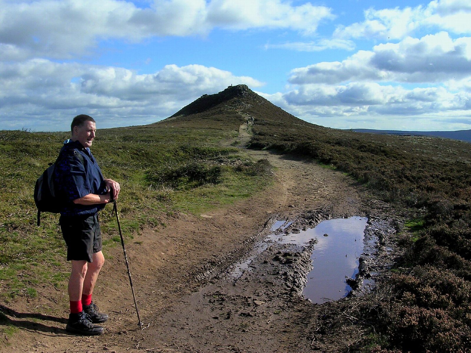
The walk makes a circuit from the car park at Yorkshire Bridge, below Ladybower dam. It climbs steeply through the woods of Parkin Clough to Win Hill Pike (463 m), a rocky little summit above Ladybower Reservoir, and follows the ridge west to Hope Brink. There it drops north-west to a bridleway and comes back east along the northern flank of Win Hill, above the reservoir, to Ladybower dam and the start. It is on path nearly all the way.
It is 7.8 km with 334 m of ascent; allow about 2¾ hours. The grade is Easy: it is short, though the climb through Parkin Clough is steep and sustained.
The top is small, rocky and exposed, so check the forecast, and in mist keep to the ridge path. Win Hill faces Lose Hill across the Noe valley; legend has a battle between two armies on the hills. Ladybower dam's plughole overflows are a landmark, and the Dambusters trained over the reservoirs.
The car park is free. There is a drinking-water point just off the route near the finish. Hope station is about 2½ km away in a straight line.
Route drawn by Global Adventurer along OpenStreetMap paths (© OpenStreetMap contributors, ODbL), with figures worked out from it. Check the forecast and the ground on the day: paths change.
Good to know
- A rocky little summit, Win Hill Pike, above Ladybower Reservoir
- Steeply up through the woods of Parkin Clough, then out along Hope Brink and back by the old Roman road to Ladybower dam
- Faces Lose Hill across the Noe valley; legend has a battle between two armies on the hills
- Ladybower dam's plughole overflows are a landmark; the Dambusters trained over the reservoirs
Summits on the way
- Win Hill 463 m
Getting there
Start: Yorkshire Bridge · Free parking. 53.36102, -1.70257
By train: Hope station is 2.5 km from the start.
Places to stay nearby
Rooms in and around Hope: Booking.com → Expedia →
Affiliate links: if you book, Global Adventurer earns a small commission at no cost to you.
Paths change, and the weather decides the day. The line and figures come from OpenStreetMap and our own checks; take a map, check the forecast, and turn back if it isn't right.


