Line © OpenStreetMap contributors (ODbL), checked by Global Adventurer.
The walk
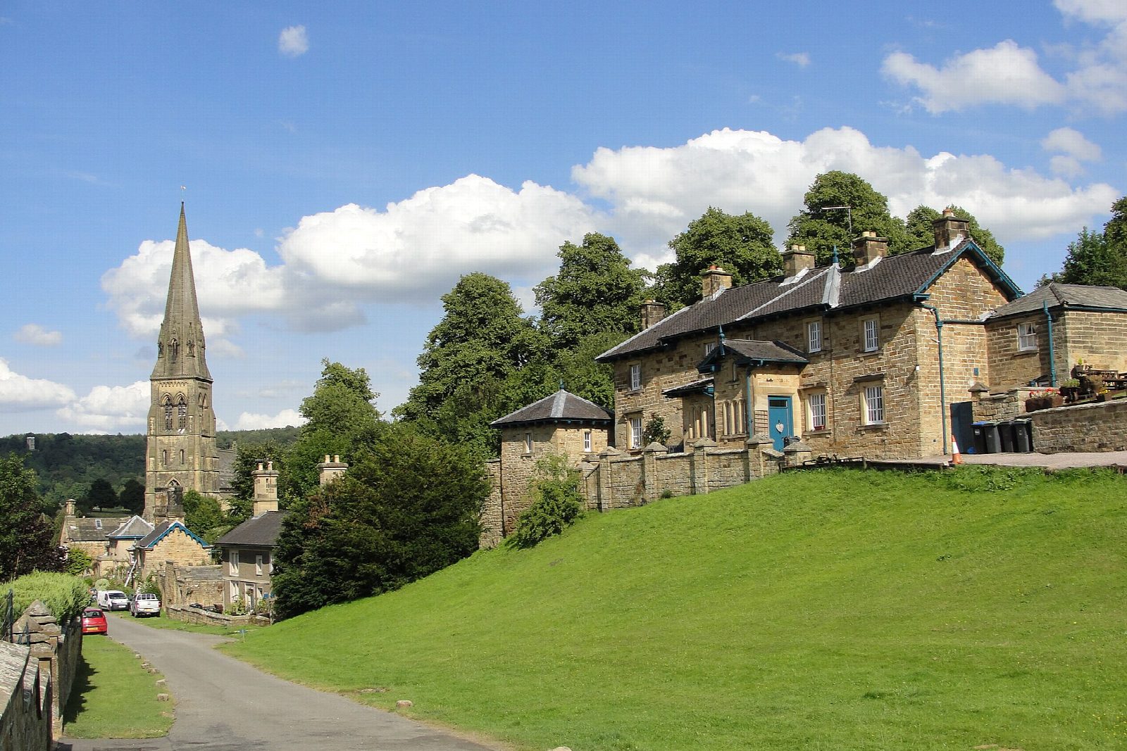
The walk starts from the long-stay car park at the Agricultural Business Centre in Bakewell. It crosses the Wye by a footbridge, goes over the old town bridge and up Station Road to the former station, then climbs through the golf course and the wood to Ball Cross. A quiet lane and a field path lead east and down to Edensor, the village rebuilt by the 6th Duke of Devonshire, and a path crosses the park to Paine's Bridge and the view of Chatsworth House. The route returns to Edensor, climbs the bridleway through the park to New Piece Wood, crosses the open grassland of Calton Pastures and drops through the Haddon estate's woods to Bakewell.
It is 10.6 km with 349 m of ascent; allow about 3½ hours. The grade is Moderate: there are two climbs of about 150 m, one each way.
The woodland paths on both sides of the hill are steep, muddy and uneven. In Chatsworth park dogs must be on a lead, among sheep, cattle and deer, and events can close parts of the park. Cyclists share the bridleway above Edensor. A third of the walk is on pavements and quiet lanes.
The Derbyshire Dales car park charges. Bakewell has no railway station: the old line is now the Monsal Trail, which the walk crosses.
Route drawn by Global Adventurer along OpenStreetMap paths (© OpenStreetMap contributors, ODbL), with figures worked out from it. Check the forecast and the ground on the day: paths change.
Good to know
- Edensor was rebuilt as an estate village by the 6th Duke of Devonshire and Joseph Paxton
- Paine's Bridge gives the classic view of Chatsworth House
- Returns over Calton Pastures and down through the Haddon estate's woods
- Bakewell's old railway is now the Monsal Trail
Getting there
Start: Agricultural Business Centre car park, Bakewell · Pay and display. 53.21141, -1.66789
Places to stay nearby
Rooms in and around Agricultural Business Centre car park: Booking.com → Expedia →
Affiliate links: if you book, Global Adventurer earns a small commission at no cost to you.
Paths change, and the weather decides the day. The line and figures come from OpenStreetMap and our own checks; take a map, check the forecast, and turn back if it isn't right.


