Line © OpenStreetMap contributors (ODbL), checked by Global Adventurer.
The walk
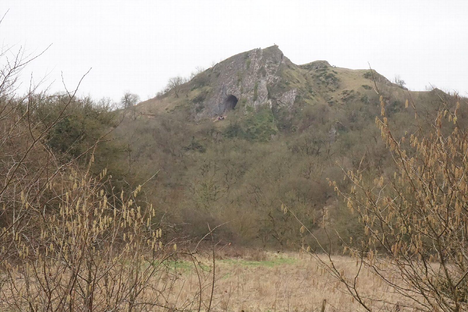
The walk starts from the car park in Wetton. It leaves the village by a walled track and a concession path across the fields to Thor's Cave, whose arched entrance, 10 metres high, opens in a crag high above the Manifold valley. Steps lead steeply down through the wood to the valley floor, and the route follows the valley north, along the line of the old light railway, to Wetton Mill. From the mill a track climbs the dry valley to the north-east, and a path over the grass saddle below Wetton Hill leads back down to the village.
It is 6.1 km with 191 m of ascent; allow about 2 hours. The grade is Easy: short, with one steep descent and a steady climb back.
The National Park warns that getting into the cave is a slippery scramble on polished rock in any weather, with a real risk of injury; the cave is privately owned and reached by permissive paths. The path to it is muddy and slippery when wet. In dry weather the Manifold sinks underground near Wetton Mill and its bed is empty. Keep dogs on a lead: there is livestock throughout.
The village car park is free and has toilets. There is no station nearby.
Route drawn by Global Adventurer along OpenStreetMap paths (© OpenStreetMap contributors, ODbL), with figures worked out from it. Check the forecast and the ground on the day: paths change.
Good to know
- The entrance of Thor's Cave is 10 metres high, in a crag above the Manifold
- The Manifold light railway ran through the valley from 1904 to 1934
- In dry weather the river sinks underground near Wetton Mill
Getting there
Start: Wetton car park · Free parking. 53.09355, -1.83865
Places to stay nearby
Rooms in and around Matlock Bath: Booking.com → Expedia →
Affiliate links: if you book, Global Adventurer earns a small commission at no cost to you.
Paths change, and the weather decides the day. The line and figures come from OpenStreetMap and our own checks; take a map, check the forecast, and turn back if it isn't right.