Line © OpenStreetMap contributors (ODbL), checked by Global Adventurer.
The walk
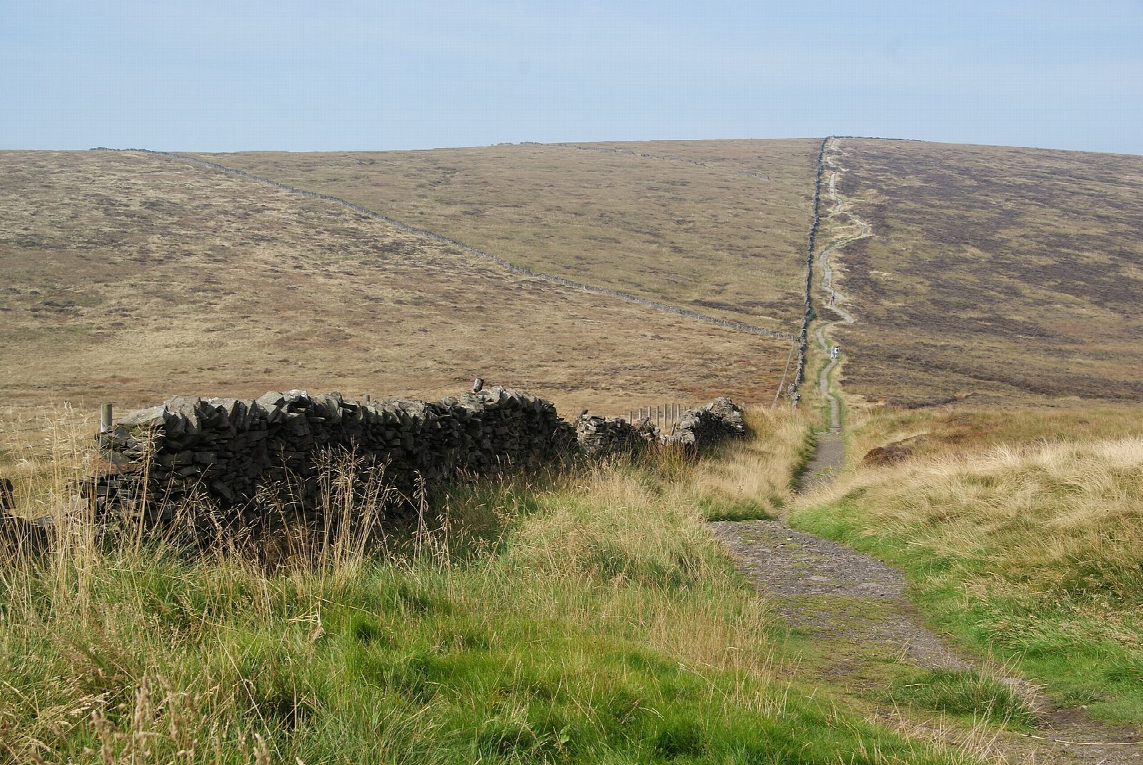
The walk starts from the Errwood Hall car park beside Errwood Reservoir. A path climbs south-west up the ridge of Stake Side, with Shooter's Clough below, to the moor wall, and turns west to the trig point on Shining Tor (559 m), the highest point in Cheshire. A flagged path then runs north along the broad ridge over Cats Tor to the road at Pym Chair. The route follows the path beside the old road called The Street downhill, turns off over Foxlow Edge, and comes down through the woods past the ruins of Errwood Hall to the car park.
It is 9.4 km with 349 m of ascent; allow about 3½ hours. The grade is Moderate.
The ridge is high and open, with no shelter; it was once a bog and is now paved for much of its length, with wet ground where the flags stop. Errwood Hall was built in the 1830s for the Grimshawe family and pulled down in 1934. Forestry work to remove diseased trees is going on in the valley and can close paths.
The car park is free; there are no toilets in this part of the valley. On Sundays and bank holidays from May to the end of September the valley road is closed to cars and you must park at The Street instead. There is no station nearby.
Route drawn by Global Adventurer along OpenStreetMap paths (© OpenStreetMap contributors, ODbL), with figures worked out from it. Check the forecast and the ground on the day: paths change.
Good to know
- Shining Tor (559 m) is the highest point in Cheshire
- A flagged path runs along the ridge to Cats Tor and Pym Chair
- Errwood Hall was built in the 1830s for the Grimshawe family and demolished in 1934
Summits on the way
- Shining Tor 559 m
- Cats Tor 522 m
- Foxlow Edge 451 m
Getting there
Start: Errwood Hall car park · Free parking. 53.27046, -1.98317
Places to stay nearby
Rooms in and around Buxton: Booking.com → Expedia →
Affiliate links: if you book, Global Adventurer earns a small commission at no cost to you.
Paths change, and the weather decides the day. The line and figures come from OpenStreetMap and our own checks; take a map, check the forecast, and turn back if it isn't right.


