Line © OpenStreetMap contributors (ODbL), checked by Global Adventurer.
The walk
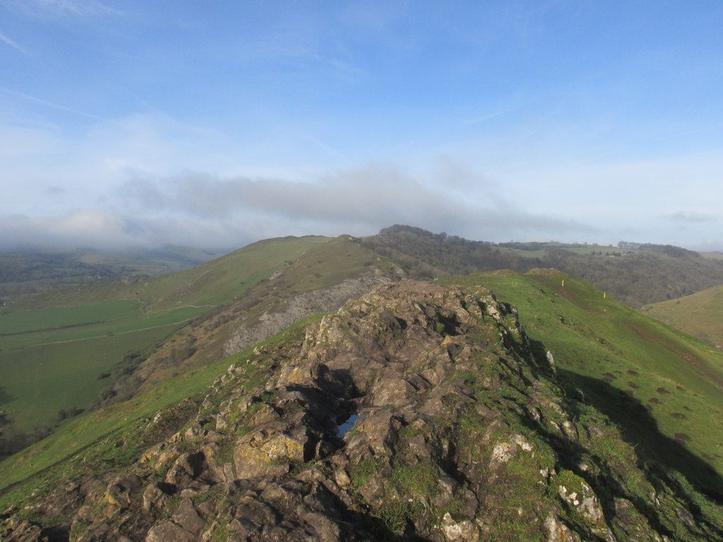
The walk starts from the Dovedale car park. It first climbs Thorpe Cloud (287 m), the limestone reef knoll guarding the mouth of Dovedale, and drops to the Stepping Stones. It then goes up the dale past Lover's Leap and Ilam Rock to the caves of Dove Holes, and comes back down the dale the same way to the Stepping Stones and the car park. It is on path nearly all the way. This is National Trust land in the White Peak.
It is 8.6 km with 230 m of ascent; allow about 3 hours. The grade is Easy: the dale path is nearly level, and only the climb up and down Thorpe Cloud is steep.
Thorpe Cloud's slopes are steep and its top is open to the wind, so take care there. Izaak Walton fished the Dove and wrote about it in The Compleat Angler. There are no mapped water sources on the route.
The car park charges a fee.
Route drawn by Global Adventurer along OpenStreetMap paths (© OpenStreetMap contributors, ODbL), with figures worked out from it. Check the forecast and the ground on the day: paths change.
Good to know
- Thorpe Cloud is a limestone reef knoll guarding the mouth of Dovedale
- Up the dale past the Stepping Stones, Lover's Leap, Ilam Rock and the caves of Dove Holes
- Izaak Walton fished the Dove and wrote about it in The Compleat Angler
- National Trust land in the White Peak
Summits on the way
- Thorpe Cloud 287 m
Getting there
Start: Dovedale car park · Pay and display. 53.05514, -1.78307
Places to stay nearby
Rooms in and around Matlock Bath: Booking.com → Expedia →
Affiliate links: if you book, Global Adventurer earns a small commission at no cost to you.
Paths change, and the weather decides the day. The line and figures come from OpenStreetMap and our own checks; take a map, check the forecast, and turn back if it isn't right.


