Line © OpenStreetMap contributors (ODbL), checked by Global Adventurer.
The walk
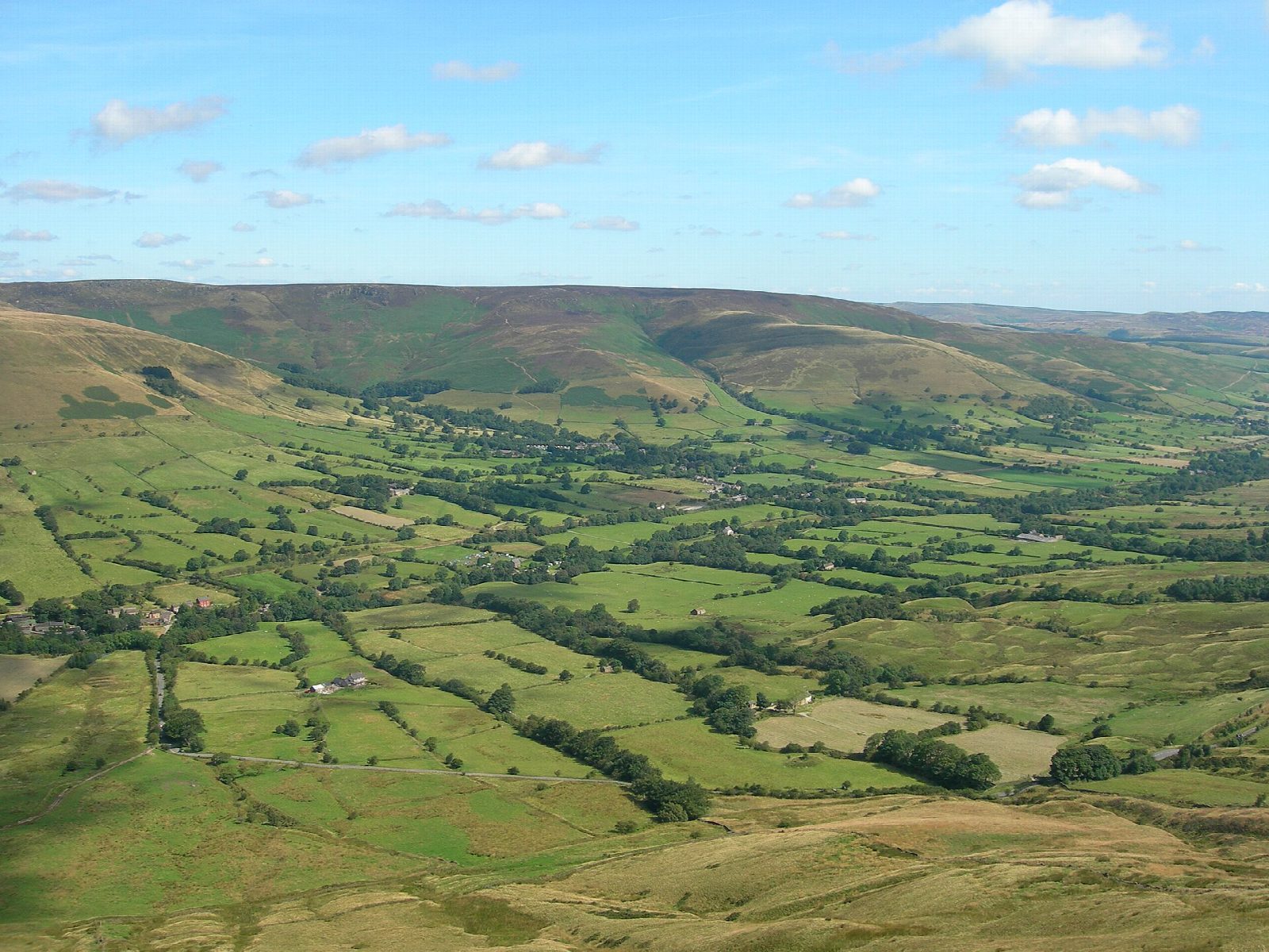
The walk starts from the National Trust's Mam Nick car park, below Mam Tor. It crosses the road and climbs west on to Rushup Edge, following the crest of the ridge to Lord's Seat (550 m), the high point, where a round barrow stands beside the path. The ridge path carries on down to the old packhorse road of Chapel Gate, which drops north into the Vale of Edale; lower down a field path leaves it for the hamlet of Barber Booth. From there paths cross the valley fields eastwards and climb by Harden Clough back up to Mam Nick.
It is 8.5 km with 365 m of ascent; allow about 3 hours. The grade is Moderate: the ridge is easy going, but the walk ends with a climb of about 170 m.
The edge is very exposed and cold in wind. Chapel Gate is rough and deeply rutted in places; motor vehicles have been banned from it since 2014. The valley fields are muddy, and grazed by sheep and cattle: the National Trust asks for dogs to be on a short lead. Barbecues and fires are not allowed.
The car park is small and charges; National Trust members park free. There are no toilets. Edale station is about 1.5 km by lane from Barber Booth, so the walk can be started from the train.
Route drawn by Global Adventurer along OpenStreetMap paths (© OpenStreetMap contributors, ODbL), with figures worked out from it. Check the forecast and the ground on the day: paths change.
Good to know
- Lord's Seat (550 m) is the top of Rushup Edge, with a round barrow beside the path
- Chapel Gate is an old packhorse road; motor vehicles have been banned from it since 2014
- Starts and ends at Mam Nick, the pass below Mam Tor
Summits on the way
- Lord's Seat [Rushup Edge] 550 m
Getting there
Start: Mam Nick car park · Pay and display. 53.34581, -1.81540
By train: Edale station is 2.1 km from the start.
Places to stay nearby
Rooms in and around Edale: Booking.com → Expedia →
Affiliate links: if you book, Global Adventurer earns a small commission at no cost to you.
Paths change, and the weather decides the day. The line and figures come from OpenStreetMap and our own checks; take a map, check the forecast, and turn back if it isn't right.


