Line © OpenStreetMap contributors (ODbL), checked by Global Adventurer.
The walk
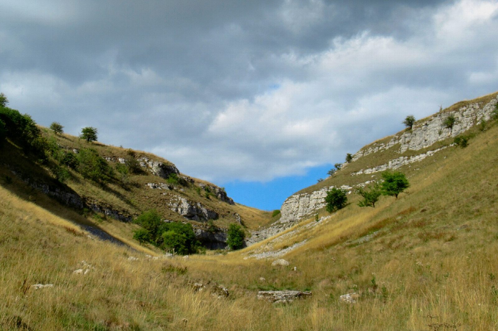
The walk starts from the small car park in Monyash. It leaves the village by Bagshaw Dale to reach the head of Lathkill Dale on the Bakewell road, then follows the path down the dale, at first a shallow grass valley and then a narrow, rocky gorge below the old Ricklow Quarry. Past Lathkill Head Cave the valley widens. At the footbridge the route turns up Cales Dale, climbs out of it by a steep path and steps to One Ash Grange, once a monastic farm, and returns north-west across the fields on the Limestone Way.
It is 6.6 km with 108 m of ascent; allow about 2 hours. The grade is Easy, though the dale floor is rough and the climb out of Cales Dale is steep.
The limestone is polished and slippery when wet, most of all in the rocky upper dale. In winter the river pours out of Lathkill Head Cave; in a dry summer it runs underground and the upper dale has no water at all. The dale is part of the Derbyshire Dales National Nature Reserve, known for Jacob's ladder, which flowers in June and July. Livestock graze the reserve.
The village car park is small. There is also roadside parking, with toilets, at the head of the dale on the B5055. There is no station nearby.
Route drawn by Global Adventurer along OpenStreetMap paths (© OpenStreetMap contributors, ODbL), with figures worked out from it. Check the forecast and the ground on the day: paths change.
Good to know
- Lathkill Dale is part of the Derbyshire Dales National Nature Reserve
- In winter the river pours from Lathkill Head Cave; in a dry summer the upper dale has no water
- Ricklow Quarry produced a polished limestone sold as grey marble
- Jacob's ladder flowers on the north-facing slopes in June and July
Getting there
Start: Monyash car park. 53.19653, -1.77734
Places to stay nearby
Rooms in and around Buxton: Booking.com → Expedia →
Affiliate links: if you book, Global Adventurer earns a small commission at no cost to you.
Paths change, and the weather decides the day. The line and figures come from OpenStreetMap and our own checks; take a map, check the forecast, and turn back if it isn't right.
