Line © OpenStreetMap contributors (ODbL), checked by Global Adventurer.
The walk
The walk starts from the Sett Valley Trail car park in Hayfield, on the site of the old station. It follows the trail, the trackbed of a branch line that closed in 1970, west towards Birch Vale, then turns up by lanes and a bridleway on to the National Trust's land on Lantern Pike. From the summit (373 m), where a view indicator names the hills around, a path runs north down to the meeting of tracks by Blackshaw Farm. The way back is east along the lane, down the path through Hey Wood to Primrose Vale at Little Hayfield, and along Primrose Lane into Hayfield.
It is 6.9 km with 221 m of ascent; allow about 2½ hours. The grade is Easy: a short hill walk on clear paths, tracks and quiet lanes.
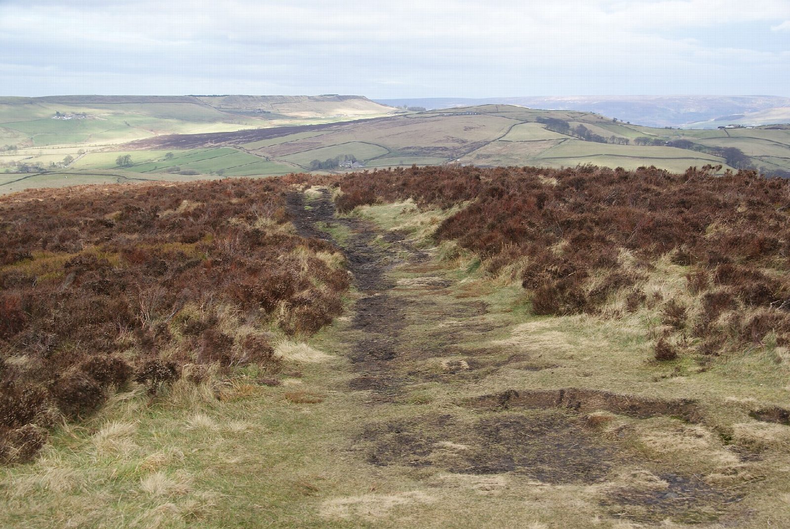
The climb from the trail is long and steady and can be muddy, and the paths near Little Hayfield are boggy in places. Sheep graze the hill, so keep dogs on a lead. The hill's name probably comes from its use as a beacon.
The Derbyshire County Council car park charges, and has toilets and the village bus station. Hayfield has no railway station; New Mills Central is 4 km away at the far end of the trail.
Route drawn by Global Adventurer along OpenStreetMap paths (© OpenStreetMap contributors, ODbL), with figures worked out from it. Check the forecast and the ground on the day: paths change.
Good to know
- Lantern Pike (373 m) belongs to the National Trust and has a view indicator on top
- The Sett Valley Trail runs on the old Hayfield branch line, closed in 1970
- The name probably comes from the hill's use as a beacon
Summits on the way
- Lantern Pike 373 m
Getting there
Start: Sett Valley Trail car park, Hayfield · Pay and display. 53.37903, -1.94785
Places to stay nearby
Rooms in and around Sett Valley Trail car park: Booking.com → Expedia →
Affiliate links: if you book, Global Adventurer earns a small commission at no cost to you.
Paths change, and the weather decides the day. The line and figures come from OpenStreetMap and our own checks; take a map, check the forecast, and turn back if it isn't right.


