Line © OpenStreetMap contributors (ODbL), checked by Global Adventurer.
The walk
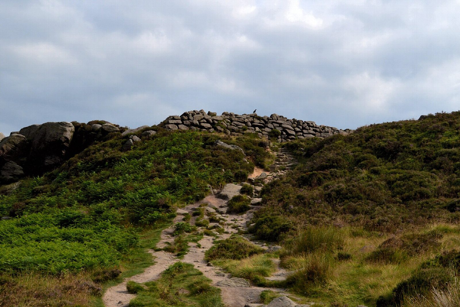
The walk starts from the National Park's car park at Upper Burbage Bridge, on the Ringinglow road. A path runs south along the moor to the tilted gritstone table of Higger Tor (434 m), crosses its top and drops down the rocks at the far end. It goes on to Carl Wark, a hill fort of uncertain age, usually taken to be Iron Age, with a stone rampart 3 metres high; the path passes below its walls. The route then drops to the old packhorse bridge over Burbage Brook, climbs to the Green Drive, a broad track along the east side of the valley below Burbage Rocks, and follows it north back to the bridge.
It is 4.5 km with 138 m of ascent; allow about 1½ hours. The grade is Easy.
The start is high, at about 400 m, and the moor is exposed. The way off Higger Tor is steep and rocky and needs a little care, and the ground by the brook is wet after rain. Ring ouzels nest here: from March to the end of July dogs must be on a lead and walkers should keep to the main paths. Cattle graze by the brook.
The car park is pay and display; there are no toilets. Hathersage station is about 3.5 km away.
Route drawn by Global Adventurer along OpenStreetMap paths (© OpenStreetMap contributors, ODbL), with figures worked out from it. Check the forecast and the ground on the day: paths change.
Good to know
- Higger Tor (434 m) is a gritstone tor above the Burbage valley
- Carl Wark is a hill fort of uncertain date with a stone rampart 3 metres high
- Returns up the valley by the Green Drive
- Ring ouzels nest here from March to July
Summits on the way
- Higger Tor 435 m
- Carl Wark 370 m · passed close by
Getting there
Start: Upper Burbage Bridge car park · Pay and display. 53.34314, -1.61054
Places to stay nearby
Rooms in and around Hathersage: Booking.com → Expedia →
Affiliate links: if you book, Global Adventurer earns a small commission at no cost to you.
Paths change, and the weather decides the day. The line and figures come from OpenStreetMap and our own checks; take a map, check the forecast, and turn back if it isn't right.


