Line © OpenStreetMap contributors (ODbL), checked by Global Adventurer.
The walk
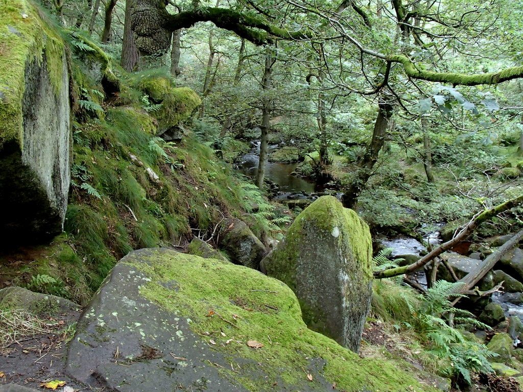
The walk starts from the National Trust's Woodcroft car park at Longshaw. It crosses the open moorland of the estate to Burbage Brook near the Toad's Mouth rock, follows the brook downstream to the footbridge at the head of Padley Gorge, and takes the path down the west side of the gorge, through twisted oaks and mossy boulders, to Grindleford station. The return climbs the east side of the gorge, through Yarncliff Wood, to Longshaw's pond and the lodge.
It is 6.0 km with 190 m of ascent; allow about 2 hours. The grade is Easy: downhill to the station and uphill all the way back.
The gorge has a maze of paths, rough with rock and tree roots, slippery when wet, and with steep steps in places. The wood is one of the best remaining pieces of the oak and birch woodland that once covered the Peak, and pied flycatchers nest in it. The National Trust asks for dogs to be on a lead everywhere on the estate, where cattle graze. Longshaw Lodge, a shooting lodge of the Dukes of Rutland, is private.
The car park charges; National Trust members park free. There are toilets and a café at Longshaw. Grindleford station is on the route, so the walk can be started from the train.
Route drawn by Global Adventurer along OpenStreetMap paths (© OpenStreetMap contributors, ODbL), with figures worked out from it. Check the forecast and the ground on the day: paths change.
Good to know
- Padley Gorge is old oak and birch woodland, a Site of Special Scientific Interest
- Longshaw Lodge was a shooting lodge of the Dukes of Rutland; the estate is now the National Trust's
- Grindleford station is at the foot of the gorge
Getting there
Start: Longshaw car park · Pay and display. 53.31665, -1.60143
By train: Grindleford station is 2.0 km from the start.
Places to stay nearby
Rooms in and around Grindleford: Booking.com → Expedia →
Affiliate links: if you book, Global Adventurer earns a small commission at no cost to you.
Paths change, and the weather decides the day. The line and figures come from OpenStreetMap and our own checks; take a map, check the forecast, and turn back if it isn't right.


