Line © OpenStreetMap contributors (ODbL), checked by Global Adventurer.
The hike
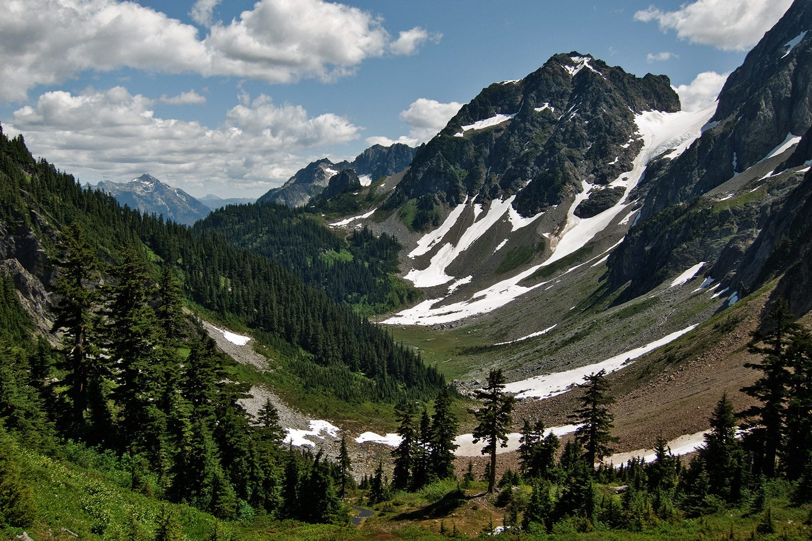
The walk starts at the Cascade Pass Trailhead, at the end of Cascade River Road, 23 miles from Marblemount. The Cascade Pass Trail climbs through forest in about 30 switchbacks over the first 2.7 miles, then runs more gently for a last mile across open slopes of meadow and rock to the pass, at 5,392 feet, with glaciers on the peaks around it. Return the same way.
It is 7.0 miles (11.3 km) round trip with 1,710 feet (522 m) of climbing; allow about 4 hours. The grade is Moderate: a steady climb on a well-graded trail.
The park calls this its most popular day hike. Steep snow can lie on the trail into July and may call for an ice axe; on September 29, 2026, the park reported the whole trail slippery with mud and, higher up, with packed snow and ice. Black bears and mountain goats live here, so guard your food. The plants at the pass are very fragile: stay on the trail and on bare ground. Pets are not allowed, and there is no camping at the pass.
Cascade River Road is paved for about 10 miles and then gravel, with potholes, washboard and steep sections near the end; vehicles over 22 feet are not allowed. It usually opens to the trailhead by late June. No pass or fee is needed to park.
Route drawn by Global Adventurer along OpenStreetMap paths (© OpenStreetMap contributors, ODbL), with figures worked out from it. Check the forecast and the ground on the day: paths change.
Good to know
- The park's most popular day hike, to a pass Native peoples used to cross the range
- Cascade River Road ends in gravel and usually opens to the trailhead by late June or July
- Steep snow can call for an ice axe into July; mountain goats often graze near the pass
Getting there
Start: Cascade Pass Trailhead. 48.47530, -121.07518
Places to stay nearby
Rooms in and around North Cascades: Booking.com → Expedia →
Affiliate links: if you book, Global Adventurer earns a small commission at no cost to you.
Paths change, and the weather decides the day. The line and figures come from OpenStreetMap and our own checks; take a map, check the forecast, and turn back if it isn't right.