Line © OpenStreetMap contributors (ODbL), checked by Global Adventurer.
The hike
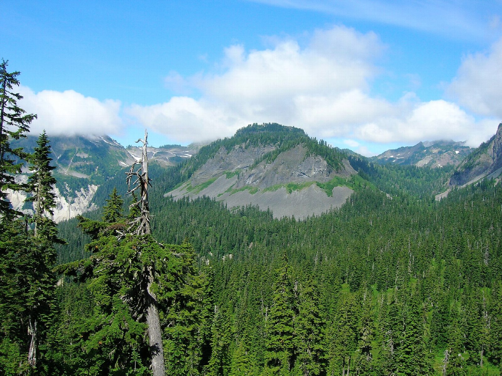
The walk starts at the Lake Ann Trailhead at Austin Pass, on the Mount Baker Highway just below Artist Point. Unusually, the Lake Ann Trail begins by going down: it descends through subalpine forest into boulder fields and meadows at the head of Swift Creek. It then climbs past talus slopes, where marmots and pikas live, to a saddle. Lake Ann lies just beyond, in a rocky basin under the west face of Mount Shuksan and the Curtis Glacier. Return the same way.
It is 8.4 miles (13.5 km) round trip with 1,830 feet (559 m) of climbing; allow about 5 hours. The grade is Moderate: there is climbing in both directions, and the pull back up to Austin Pass comes at the end of the day.
Snow can lie on the approach to the saddle into August. Anyone camping must go at least two miles from the trailhead between May 15 and November 14. The trail also has close views of Mount Baker.
A Northwest Forest Pass or an America the Beautiful pass is needed to park. The upper Mount Baker Highway can be driven for less than three months a year, and snow can lie at this height even in late summer, so check with the Mount Baker Ranger District before you set out.
Route drawn by Global Adventurer along OpenStreetMap paths (© OpenStreetMap contributors, ODbL), with figures worked out from it. Check the forecast and the ground on the day: paths change.
Good to know
- A rocky basin lake under Mount Shuksan's west face and the Curtis Glacier
- The trail drops into Swift Creek's valley first, so the way back climbs too
- Starts at Austin Pass near Heather Meadows; a Northwest Forest Pass is needed
Getting there
Start: Lake Ann Trailhead, Austin Pass · Parking fee. 48.84990, -121.68633
Places to stay nearby
Rooms in and around Lake Ann Trailhead: Booking.com → Expedia →
Affiliate links: if you book, Global Adventurer earns a small commission at no cost to you.
Paths change, and the weather decides the day. The line and figures come from OpenStreetMap and our own checks; take a map, check the forecast, and turn back if it isn't right.