Line © OpenStreetMap contributors (ODbL), checked by Global Adventurer.
The walk
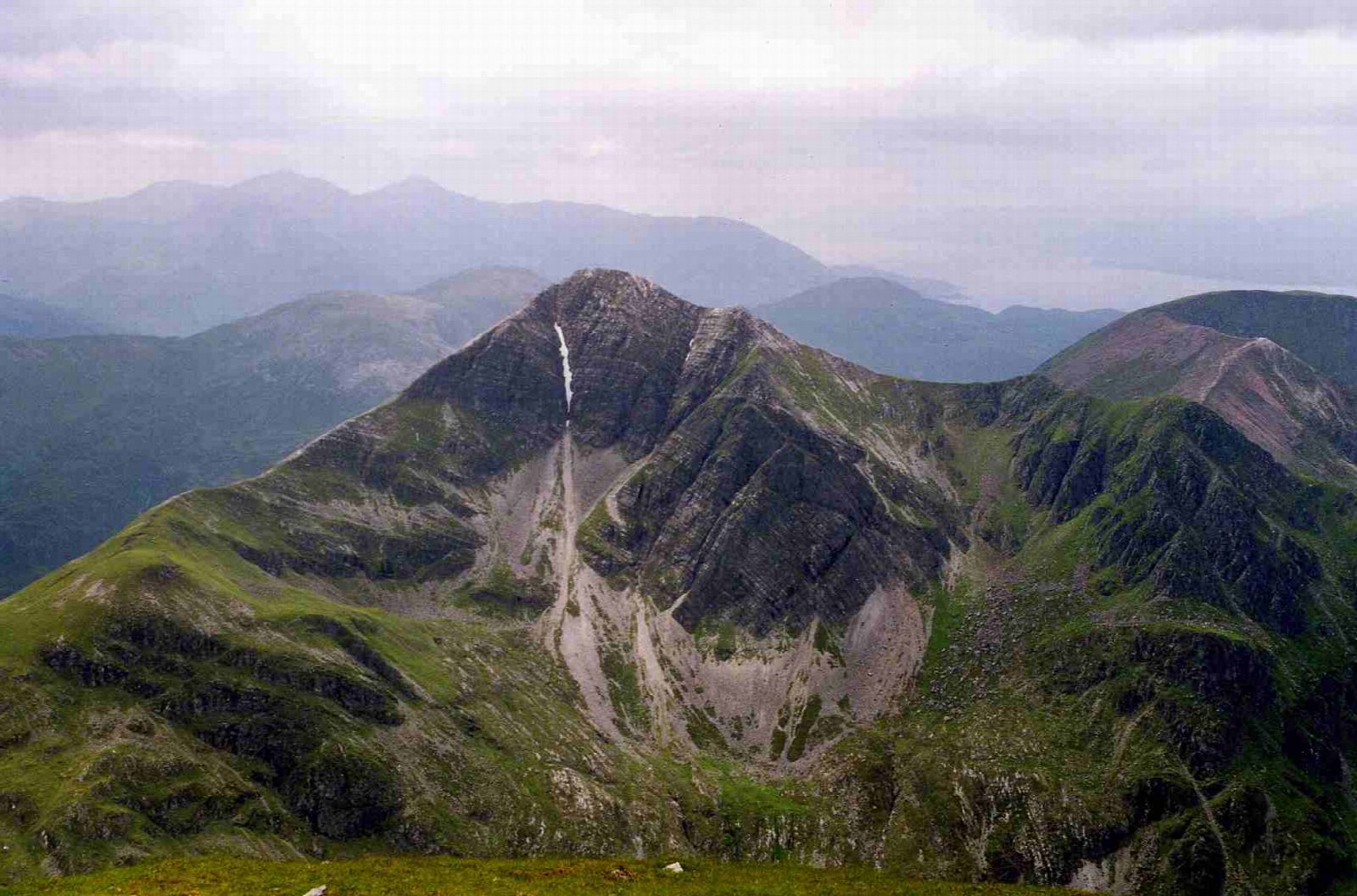
The walk starts from the Lower Falls car park in Glen Nevis, near the bridge at Polldubh. A stalkers' path climbs south on the east side of the Allt Coire a' Mhusgain, steadily and then in zigzags past a waterfall, to a bealach at the head of the corrie. The route turns west up the ridge and climbs the steep, shattered quartzite slopes to Stob Bàn. It follows the ridge north and west over a narrow rocky crest, which can be bypassed, and a broad plateau to Mullach nan Coirean. The descent goes down the north-east ridge beside a fence, then through birch wood and forest to the road at Achriabhach.
It is 13.3 km with 1,140 m of ascent; allow about 7¾ hours. The grade is Strenuous: a long, steep mountain day.
The quartzite on Stob Bàn is loose and slippery when wet, and the ridge needs navigation skills in mist. The lower descent by the fence is very boggy. Mamore Estate stalks deer from early August to about the end of March; its teams avoid the main paths and ridges, but follow any signs on the day.
The car park charges. Fort William station is about 7 km away.
Route drawn by Global Adventurer along OpenStreetMap paths (© OpenStreetMap contributors, ODbL), with figures worked out from it. Check the forecast and the ground on the day: paths change.
Good to know
- Two Munros at the western end of the Mamores
- Stob Bàn's summit is shattered pale quartzite
Summits on the way
- Stob Ban 1,000 m
- Mullach nan Coirean East Top 917 m · passed close by
- Mullach nan Coirean SE Top [Mullach nan Coirean South Top] 918 m · passed close by
- Mullach nan Coirean 939 m
Getting there
Start: Lower Falls car park, Glen Nevis · Pay and display. 56.76942, -5.03676
Places to stay nearby
Rooms in and around Lower Falls car park: Booking.com → Expedia →
Affiliate links: if you book, Global Adventurer earns a small commission at no cost to you.
Paths change, and the weather decides the day. The line and figures come from OpenStreetMap and our own checks; take a map, check the forecast, and turn back if it isn't right.