Line © OpenStreetMap contributors (ODbL), checked by Global Adventurer.
The hike
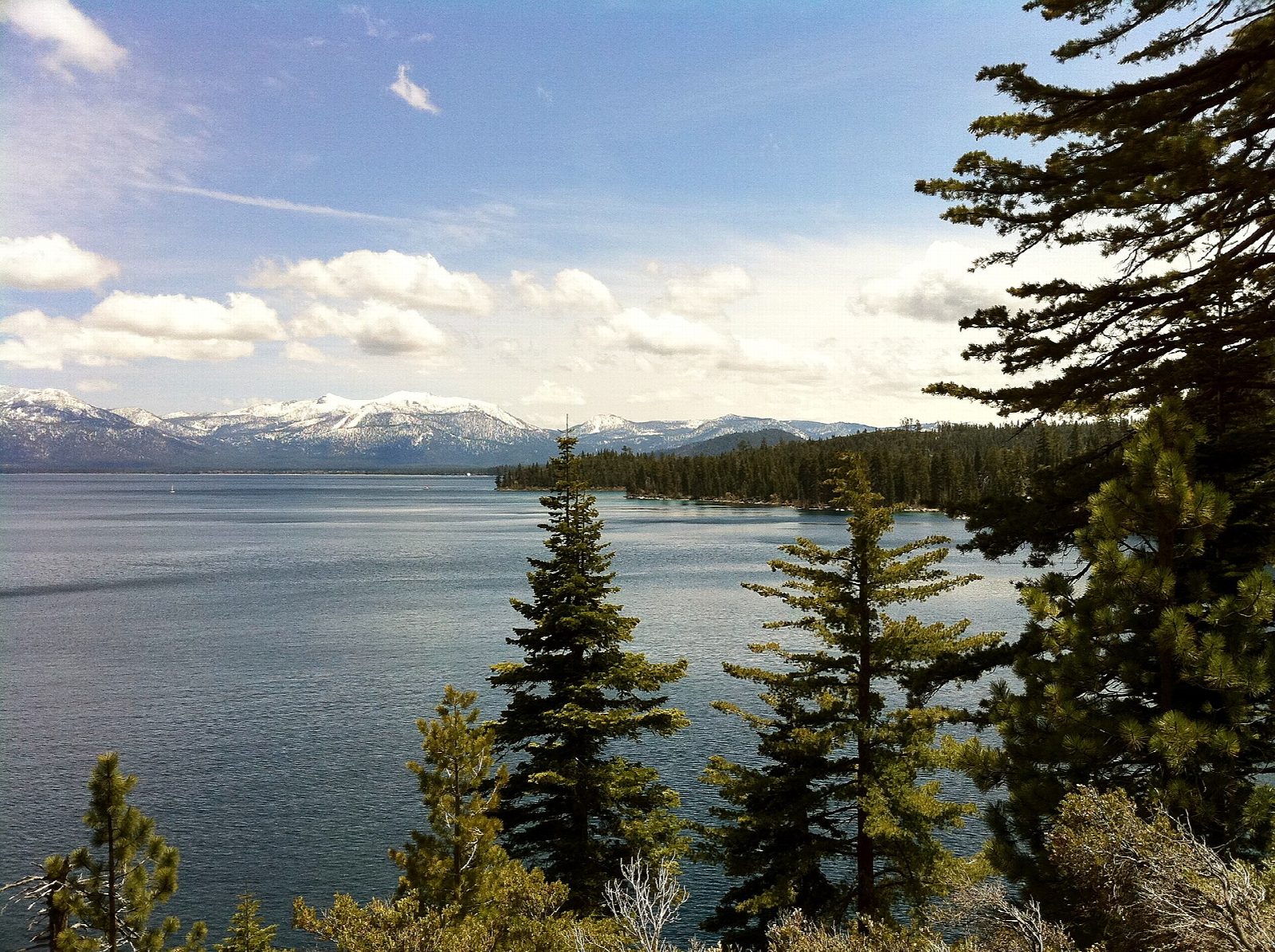
The walk starts at the Rubicon Trailhead at Calawee Cove, in D. L. Bliss State Park. The Rubicon Trail climbs round Rubicon Point on ledges high above the water, where the Lighthouse Trail joins by the old lighthouse. It then runs south through forest close to the shore to Emerald Point at the mouth of Emerald Bay. Turning into the bay, it passes the boat-in camp and Parson Rock and reaches Vikingsholm, the Scandinavian-style house of 1929 on the beach at the head of the bay. Return the same way.
It is 8.5 miles (13.6 km) round trip with 870 feet (266 m) of climbing; allow about 4 hours. The grade is Moderate: a good trail with many short ups and downs, narrow on the ledges.
Dogs are not allowed on the trail or the beaches. Stay on the marked trail: some stretches have long drops to the water. The park charges $10 a vehicle for day use and is open from sunrise to sunset.
The park is closed to vehicles in the off-season: it shut on October 1, 2026 and opened that year on May 21. While it is closed you may park at the visitor center lot near Highway 89 and walk in, which adds about a mile each way. The trail can also be joined from the Vikingsholm lot on Highway 89, by a steep one-mile path.
Route drawn by Global Adventurer along OpenStreetMap paths (© OpenStreetMap contributors, ODbL), with figures worked out from it. Check the forecast and the ground on the day: paths change.
Good to know
- Follows Lake Tahoe's shore from D. L. Bliss State Park into Emerald Bay and on to Vikingsholm
- Some stretches run on ledges above deep, clear water; no dogs on the trail
- Day-use fee; the park road closes to cars for the winter from early October
Getting there
Start: Rubicon Trailhead, Calawee Cove. 38.99852, -120.09791
Places to stay nearby
Rooms in and around Rubicon Trailhead: Booking.com → Expedia →
Affiliate links: if you book, Global Adventurer earns a small commission at no cost to you.
Paths change, and the weather decides the day. The line and figures come from OpenStreetMap and our own checks; take a map, check the forecast, and turn back if it isn't right.