Line © OpenStreetMap contributors (ODbL), checked by Global Adventurer.
The hike
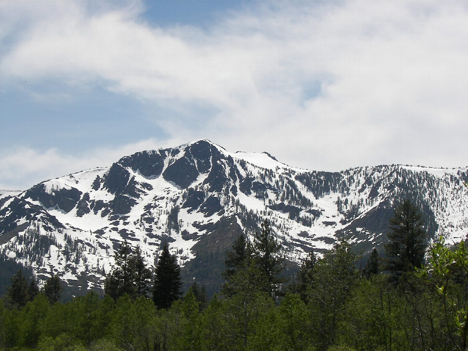
The walk starts at the Mount Tallac Trailhead, at the end of a dirt road off Highway 89, about 3.5 miles northwest of South Lake Tahoe and opposite the Baldwin Beach entrance. The trail climbs along a ridge above Fallen Leaf Lake, then through forest into the Desolation Wilderness to Floating Island Lake, 1.7 miles in, and Cathedral Lake, at 2.5 miles. Beyond Cathedral Lake it turns steep and strenuous, climbing out of the trees and up loose rock to the crest, then along the back of the mountain to the summit, at 9,735 feet. Return the same way.
It is 9.5 miles (15.3 km) round trip with 3,140 feet (958 m) of climbing; allow about 7 hours. The grade is Hard: a big climb, steep and rocky in its upper half.
Fill in a free Desolation Wilderness day permit at the box at the trailhead. There is no drinking water at the trailhead or on the route, so carry plenty. The weather on the summit can change quickly: take a jacket and allow enough time to be down before dark. Campfires are not allowed.
The trailhead road and parking close for the winter, on November 15 in 2026, and reopen in late spring. Snow lies on the upper trail into early summer.
Route drawn by Global Adventurer along OpenStreetMap paths (© OpenStreetMap contributors, ODbL), with figures worked out from it. Check the forecast and the ground on the day: paths change.
Good to know
- The classic view down to Lake Tahoe and Emerald Bay
- Past Floating Island and Cathedral Lakes, then a steep, rocky climb to the top
- A free Desolation Wilderness day permit is filled in at the trailhead
Summits on the way
- Mount Tallac 9,734 ft (2,967 m)
Getting there
Start: Mount Tallac Trailhead. 38.92167, -120.06817
Places to stay nearby
Rooms in and around Lake Tahoe: Booking.com → Expedia →
Affiliate links: if you book, Global Adventurer earns a small commission at no cost to you.
Paths change, and the weather decides the day. The line and figures come from OpenStreetMap and our own checks; take a map, check the forecast, and turn back if it isn't right.
