Line © OpenStreetMap contributors (ODbL), checked by Global Adventurer.
The hike
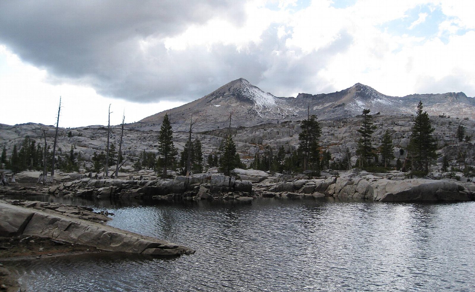
The walk starts at the Echo Lakes Trailhead, by Echo Chalet at the end of Echo Lakes Road, off Highway 50 near Echo Summit. Cross the dam and follow the Pacific Crest Trail along the north shore of Lower Echo Lake and above Upper Echo Lake, on a rocky path across open slopes. The trail then enters the Desolation Wilderness and climbs steadily past the turnings for Tamarack Lake and Lake of the Woods to the shore of Lake Aloha, a wide, shallow lake dotted with granite islands under the Crystal Range. Return the same way.
It is 12.0 miles (19.3 km) round trip with 1,310 feet (399 m) of climbing; allow about 6 hours. The grade is Hard, for the distance: the climbing is gentle, but the trail is rocky for miles.
Fill in a free Desolation Wilderness day permit at the box at the trailhead. There is no fee to park, but the lot is small: when it is full, use the Echo Sno-Park. There is no drinking water. When the Echo Lakes water taxi runs, it cuts about 2.5 miles off each way, but it was suspended for 2026.
The road to the Echo Lakes is not plowed in winter, and the trailhead is normally reached from about mid May to mid October.
Route drawn by Global Adventurer along OpenStreetMap paths (© OpenStreetMap contributors, ODbL), with figures worked out from it. Check the forecast and the ground on the day: paths change.
Good to know
- Along the Pacific Crest Trail to Lake Aloha, a sheet of water dotted with granite islands
- A summer water taxi across the Echo Lakes can save about 2.5 miles each way; it did not run in 2026
- A free Desolation Wilderness day permit is needed, from the trailhead
Getting there
Start: Echo Lakes Trailhead. 38.83452, -120.04362
Places to stay nearby
Rooms in and around Lake Tahoe: Booking.com → Expedia →
Affiliate links: if you book, Global Adventurer earns a small commission at no cost to you.
Paths change, and the weather decides the day. The line and figures come from OpenStreetMap and our own checks; take a map, check the forecast, and turn back if it isn't right.
