Line © OpenStreetMap contributors (ODbL), checked by Global Adventurer.
The hike
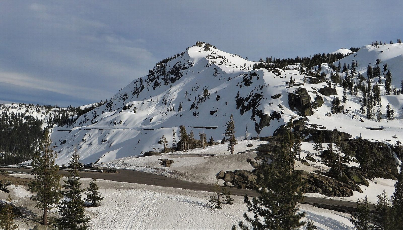
The walk starts at the Pacific Crest Trail parking on Old Donner Summit Road, just south of Donner Pass Road, the old Highway 40. Walk a short way down the road to the trailhead and follow the Pacific Crest Trail south, up switchbacks among granite. Turn left onto the Mount Judah Loop Trail, which climbs to the saddle between Donner Peak and Mount Judah. A short spur leads out to the rocky top of Donner Peak, above Donner Lake. From the saddle the loop runs along the open crest of Mount Judah, then drops to meet the Pacific Crest Trail again near Roller Pass. Follow it north, back to the start.
It is a 6.1-mile (9.8 km) loop with 1,100 feet (336 m) of climbing; allow about 3½ hours. The grade is Moderate: good trails, with a steady climb and an open, windy crest.
No permit is needed. There is no water on the route. The top of Donner Peak is a pile of granite blocks that takes some care. At Roller Pass, in the 1840s, emigrants hauled their wagons up the slope with chains run over log rollers.
The pass is under deep snow in winter, and drifts lie on the trail into early summer.
Route drawn by Global Adventurer along OpenStreetMap paths (© OpenStreetMap contributors, ODbL), with figures worked out from it. Check the forecast and the ground on the day: paths change.
Good to know
- Along the Pacific Crest Trail from Donner Pass, then a ridge over two summits
- Views down to Donner Lake and the old railroad tunnels on the pass
- Emigrants hauled wagons up Roller Pass with chains over log rollers in the 1840s
Summits on the way
- Donner Peak 7,989 ft (2,435 m)
- Mount Judah 8,245 ft (2,513 m)
Getting there
Start: Pacific Crest Trail parking, Old Donner Summit Road. 39.31637, -120.32615
Places to stay nearby
Rooms in and around Pacific Crest Trail parking: Booking.com → Expedia →
Affiliate links: if you book, Global Adventurer earns a small commission at no cost to you.
Paths change, and the weather decides the day. The line and figures come from OpenStreetMap and our own checks; take a map, check the forecast, and turn back if it isn't right.
