Line © OpenStreetMap contributors (ODbL), checked by Global Adventurer.
The walk
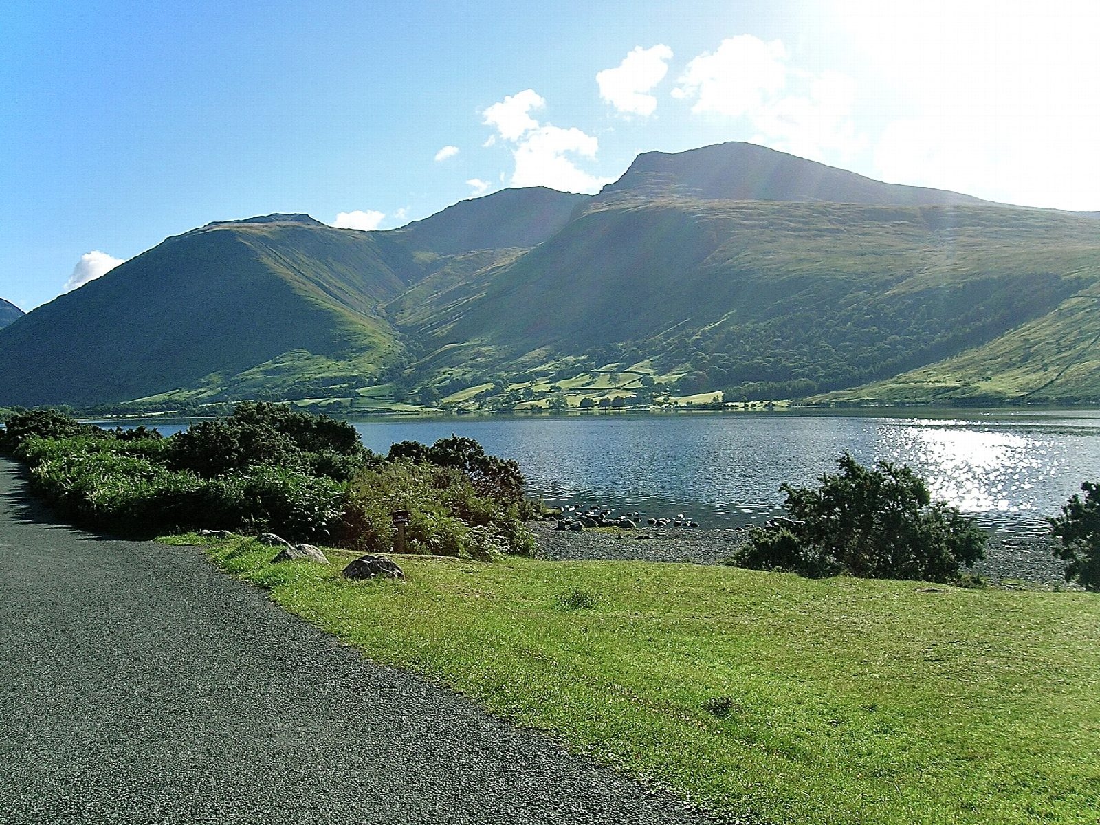
The walk starts from the car park at Wasdale Head, at the head of Wast Water, and goes out and back by the shortest way up England's highest mountain. It climbs by Lingmell Gill to Lingmell Col, then up the final slopes to the summit of Scafell Pike (978 m), a top of boulders with a huge war-memorial cairn. It is on path nearly all the way, rough and stony higher up.
It is 9.9 km with 972 m of ascent; allow about 6½ hours. The grade is Hard: all that height comes in under 5 km, and the upper part is steep and bouldery.
In mist the way off the bouldery top is easy to lose, so carry a map and compass, check the forecast and use your judgement. Winter snow and ice make it far more serious. The summit was given to the National Trust in 1919 in memory of the men of the Lake District killed in the First World War. There are no mapped water sources on the route.
The car park is free.
Route drawn by Global Adventurer along OpenStreetMap paths (© OpenStreetMap contributors, ODbL), with figures worked out from it. Check the forecast and the ground on the day: paths change.
Good to know
- England's highest mountain
- The shortest way up, from the head of Wast Water by Lingmell Gill and Lingmell Col
- A summit of boulders with a huge war-memorial cairn
- Given to the National Trust in 1919 in memory of the men of the Lake District killed in the First World War
Summits on the way
- Scafell Pike 978 m
Getting there
Start: Wasdale Head · Free parking. 54.46542, -3.25620
Places to stay nearby
Rooms in and around Drigg: Booking.com → Expedia →
Affiliate links: if you book, Global Adventurer earns a small commission at no cost to you.
Paths change, and the weather decides the day. The line and figures come from OpenStreetMap and our own checks; take a map, check the forecast, and turn back if it isn't right.


