Line © OpenStreetMap contributors (ODbL), checked by Global Adventurer.
The walk
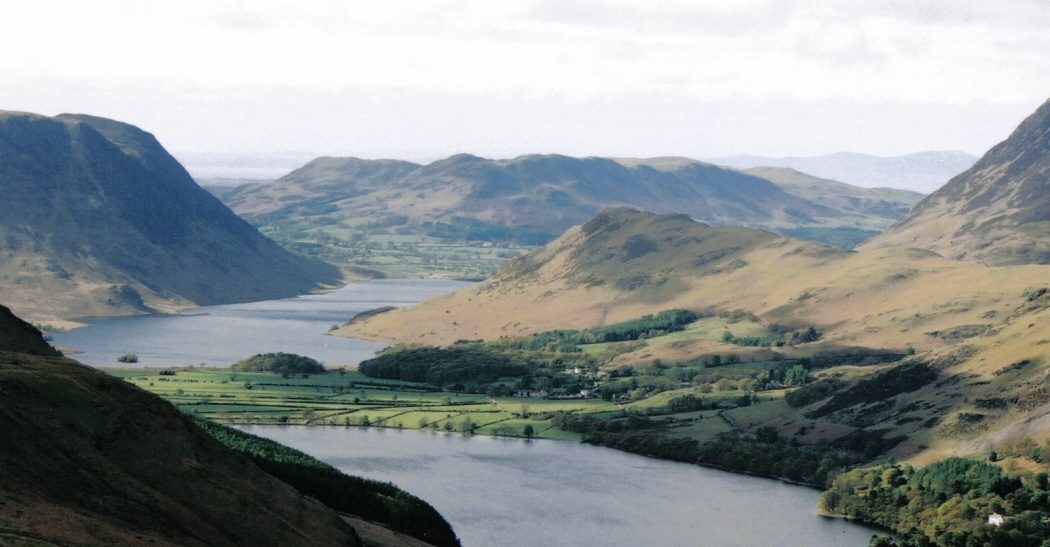
The walk starts from the National Trust car park in Buttermere village. It crosses the road and climbs a grassy path onto the east end of Rannerdale Knotts, then follows the ridge west to the summit cairn, with Crummock Water, Buttermere and Loweswater in view. A steep pitched path drops towards Crummock Water. The return follows the shore of the lake south and goes through Nether How wood and over a footbridge back to the village.
It is 4.4 km with 265 m of ascent; allow about 2 hours. The grade is Easy: short, with one steady climb and a steep descent.
The pitched path down from the summit is steep and slippery in the wet. Rannerdale, the 'secret valley' behind the knotts, is famous for its bluebells from late April into May; please keep to the paths. Herdwick sheep graze the fell. The National Park Authority reports that Mill Beck has burst its bank onto a nearby path between the village and Nether How; this walk uses the path from the National Trust car park instead.
The car park charges non-members of the National Trust. The 77 and 77A buses from Keswick and the 263 from Cockermouth stop in Buttermere.
Route drawn by Global Adventurer along OpenStreetMap paths (© OpenStreetMap contributors, ODbL), with figures worked out from it. Check the forecast and the ground on the day: paths change.
Good to know
- Along the little ridge of Rannerdale Knotts to views of three lakes
- Down to the shore of Crummock Water and back through Nether How wood
- Rannerdale, the 'secret valley', is famous for its bluebells in late April and May
Summits on the way
- Rannerdale Knotts 355 m
Getting there
Start: Buttermere National Trust car park · Pay and display. 54.54350, -3.28001
Places to stay nearby
Rooms in and around Corkickle: Booking.com → Expedia →
Affiliate links: if you book, Global Adventurer earns a small commission at no cost to you.
Paths change, and the weather decides the day. The line and figures come from OpenStreetMap and our own checks; take a map, check the forecast, and turn back if it isn't right.


