Line © OpenStreetMap contributors (ODbL), checked by Global Adventurer.
The walk
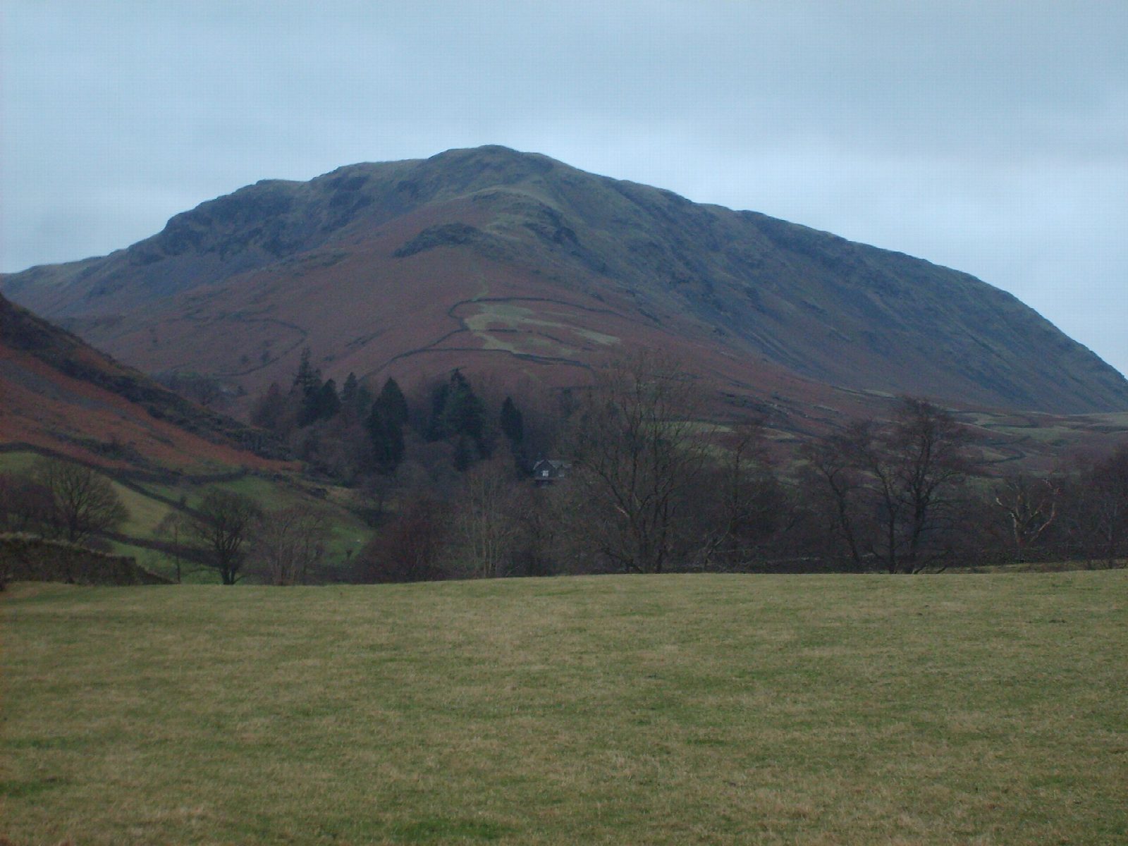
The walk starts from the Broadgate Meadow car park in Grasmere. Lanes lead north past Goody Bridge to Ghyll Foot, and a path climbs the long ridge of Steel Fell. The route turns west across boggy ground dotted with small tarns to Calf Crag, then heads back east along the ridge over Gibson Knott to Helm Crag, whose summit rocks are known as the Lion and the Lamb. Stone steps lead down to Easedale Road and the village.
It is 13.7 km with 615 m of ascent; allow about 5 hours. The grade is Moderate: a long round with steep ends.
The ground between Steel Fell and Calf Crag is boggy all year and the path is faint, so it is not a place to be in mist without navigation skills. The very top of Helm Crag, the rock called the Howitzer, is a rock climb and is not part of the walk. Cattle may be met on the lower ground.
Broadgate Meadow car park charges a fee. The 555 bus stops in Grasmere. The nearest railway station is Windermere, about 12 km away.
Route drawn by Global Adventurer along OpenStreetMap paths (© OpenStreetMap contributors, ODbL), with figures worked out from it. Check the forecast and the ground on the day: paths change.
Good to know
- Round the Greenburn valley: Steel Fell, Calf Crag, Gibson Knott and Helm Crag
- Helm Crag's summit rocks are the Lion and the Lamb; the very top, the Howitzer, is a rock climb and not needed
- Boggy between Steel Fell and Calf Crag
Summits on the way
- Steel Fell [Dead Pike - Steel Fell] 553 m
- Calf Crag 537 m
- Gibson Knott 420 m
- Gibson Knott East Cairn 422 m · passed close by
- Helm Crag 405 m
Getting there
Start: Broadgate Meadow car park, Grasmere · Pay and display. 54.46078, -3.02171
Places to stay nearby
Rooms in and around Broadgate Meadow car park: Booking.com → Expedia →
Affiliate links: if you book, Global Adventurer earns a small commission at no cost to you.
Paths change, and the weather decides the day. The line and figures come from OpenStreetMap and our own checks; take a map, check the forecast, and turn back if it isn't right.
