Line © OpenStreetMap contributors (ODbL), checked by Global Adventurer.
The walk
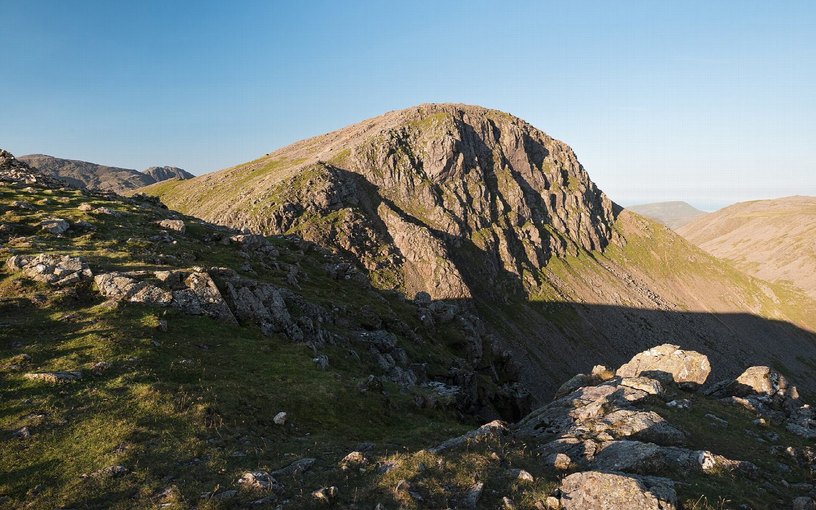
The walk starts from the National Trust car park on top of Honister Pass, 350 m up. It climbs the old tramway towards the Drum House, then a fence line over Grey Knotts and Brandreth to Green Gable. From Windy Gap a steep, rocky path climbs to the summit of Great Gable. The way down goes north-west to Beck Head, then follows Moses' Trod, an old track that contours round the western flanks of Green Gable and Brandreth, back to the Drum House and Honister.
It is 10.1 km with 759 m of ascent; allow about 5¼ hours. The grade is Hard: steep, rocky ground on Great Gable and a long day for its length.
The paths up and down from Great Gable's summit are steep and rocky; OpenStreetMap grades more than a kilometre of them as demanding mountain walking. The summit is a rocky dome where the paths are easy to confuse in mist. The Fell and Rock Climbing Club's war memorial is set in the summit rocks. In winter the fells hold snow and ice long after the valleys clear.
The Honister Pass car park charges non-members of the National Trust. The 77 and 77A Honister Rambler buses run from March to November.
Route drawn by Global Adventurer along OpenStreetMap paths (© OpenStreetMap contributors, ODbL), with figures worked out from it. Check the forecast and the ground on the day: paths change.
Good to know
- Over Grey Knotts, Brandreth and Green Gable to Great Gable, back by the old Moses' Trod path
- Starts high, at the National Trust car park on top of Honister Pass
- The Fell and Rock Climbing Club's war memorial is set in the summit rocks
Summits on the way
- Grey Knotts 697 m
- Brandreth 715 m
- Green Gable 800 m
- Great Gable 899 m
Getting there
Start: Honister Pass National Trust car park · Pay and display. 54.51126, -3.19764
Places to stay nearby
Rooms in and around Drigg: Booking.com → Expedia →
Affiliate links: if you book, Global Adventurer earns a small commission at no cost to you.
Paths change, and the weather decides the day. The line and figures come from OpenStreetMap and our own checks; take a map, check the forecast, and turn back if it isn't right.


