Line © OpenStreetMap contributors (ODbL), checked by Global Adventurer.
The walk
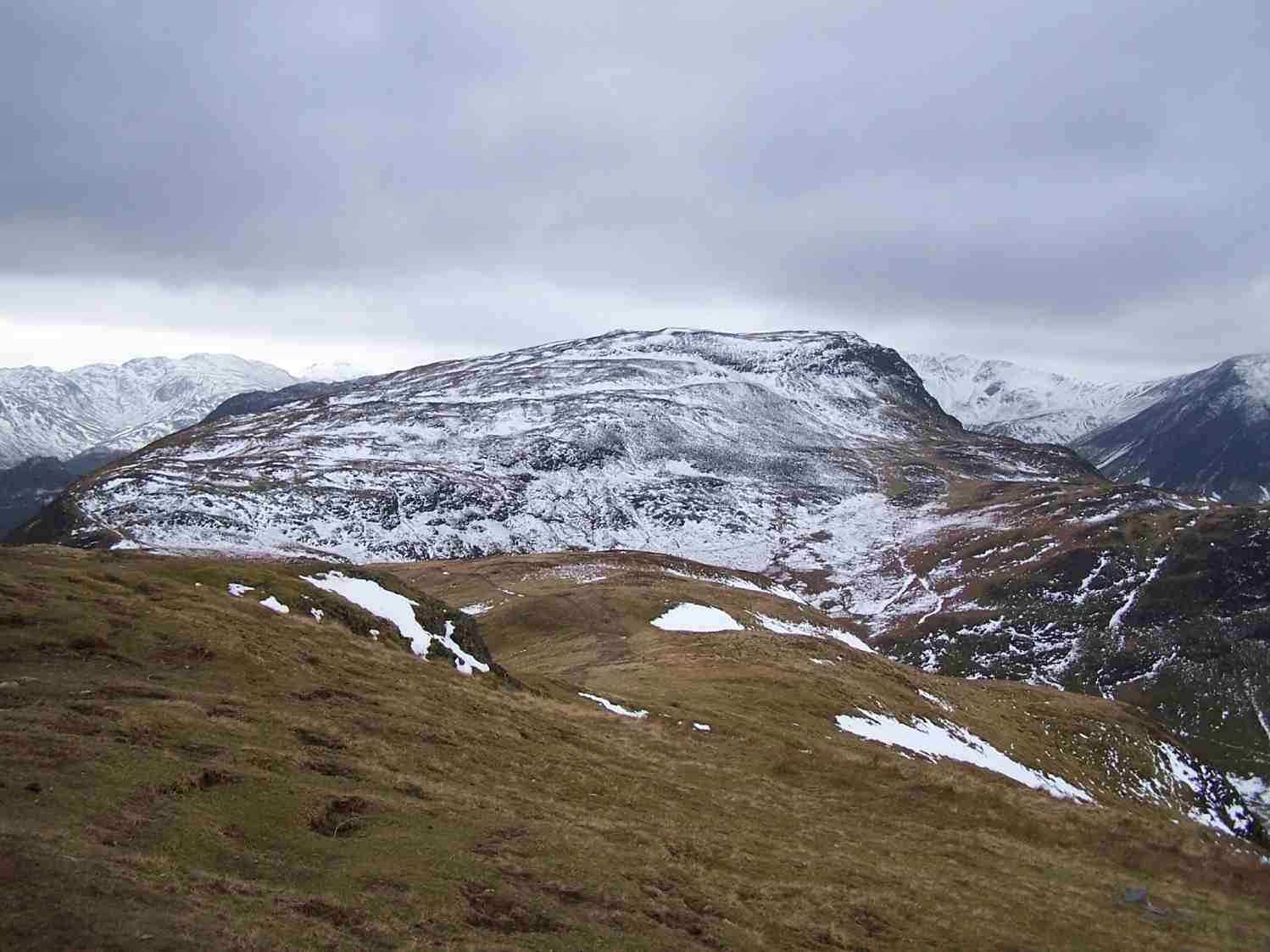
The walk starts from the small car park at Hawes End below Catbells. It climbs the north ridge over Skelgill Bank to the summit of Catbells, drops to Hause Gate and follows the broad ridge south over Maiden Moor to High Spy, high above Borrowdale. Beyond High Spy the path descends to Dalehead Tarn. The return follows the old mine track down the Newlands valley to Little Town and goes by field paths and Skelgill back to Hawes End.
It is 15.2 km with 702 m of ascent; allow about 5¾ hours. The grade is Hard: a long day with steep ground on Catbells.
The north ridge of Catbells has short rocky steps where hands help, and it is busy at weekends. The tops beyond are broad and grassy and can be confusing in mist, and the valley path is boggy in places.
Parking at Hawes End is very limited and fills early; the Keswick launch calls at the Hawes End landing stage nearby.
Route drawn by Global Adventurer along OpenStreetMap paths (© OpenStreetMap contributors, ODbL), with figures worked out from it. Check the forecast and the ground on the day: paths change.
Good to know
- The ridge from Catbells south over Maiden Moor to High Spy above Borrowdale
- Down past Dalehead Tarn and back through the Newlands valley by Little Town
- Short rocky steps on the way up Catbells
Summits on the way
- Skelgill Bank 338 m · passed close by
- Cat Bells [Catbells] 451 m
- Maiden Moor 575 m
- High Spy 653 m
Getting there
Start: Hawes End. 54.58090, -3.16600
Places to stay nearby
Rooms in and around Aspatria: Booking.com → Expedia →
Affiliate links: if you book, Global Adventurer earns a small commission at no cost to you.
Paths change, and the weather decides the day. The line and figures come from OpenStreetMap and our own checks; take a map, check the forecast, and turn back if it isn't right.


