Line © OpenStreetMap contributors (ODbL), checked by Global Adventurer.
The walk
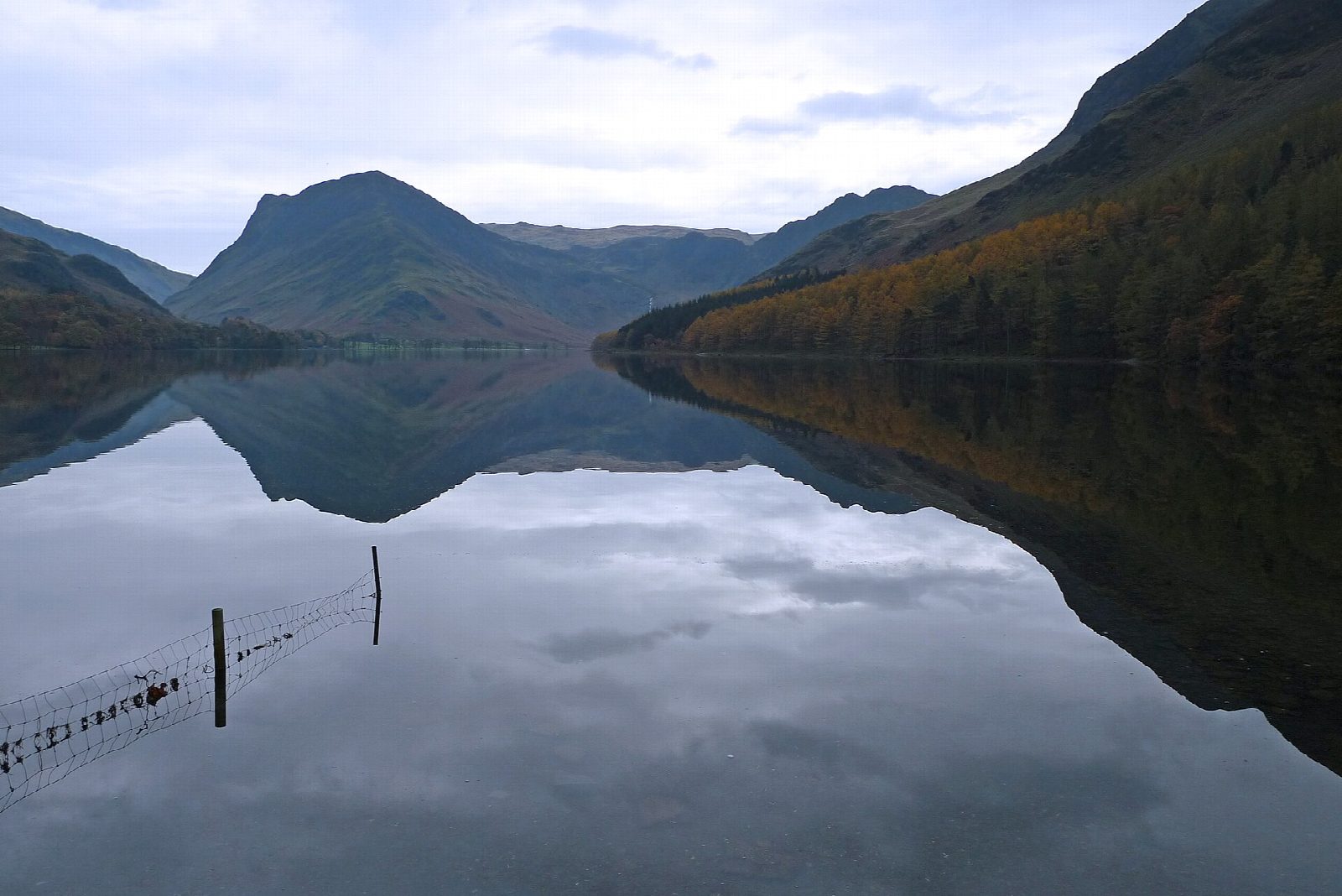
The walk starts from the National Park car park in Buttermere village and goes round the lake anticlockwise. Field paths lead to the shore, and a path runs through Burtness Wood along the south-west side under the crags of High Stile. At the head of the lake it crosses Peggy's Bridge to Gatesgarth Farm, follows the road briefly and returns along the north-east shore, where a short tunnel was cut through the rock at Hassness in the 19th century for a Manchester mill owner.
It is 7.7 km with 78 m of ascent; allow about 2 hours. The grade is Easy: level and on good paths.
The paths are mostly good, with one short rocky step where you may need your hands and a short stretch on the road near Gatesgarth. The tunnel is dark and often has puddles. Haystacks, which Wainwright called the best fell top of all, rises at the head of the lake.
The car park charges a fee; there is a National Trust car park nearby too. The 77 and 77A buses run from Keswick from March to November.
Route drawn by Global Adventurer along OpenStreetMap paths (© OpenStreetMap contributors, ODbL), with figures worked out from it. Check the forecast and the ground on the day: paths change.
Good to know
- An easy anticlockwise round of the lake: Burtness Wood first, back through the rock tunnel at Hassness
- The tunnel was cut in the 19th century for a Manchester mill owner
- Wainwright called Haystacks, at the head of the lake, the best fell top of all
Getting there
Start: Buttermere car park (Lake District National Park) · Pay and display. 54.54081, -3.27940
Places to stay nearby
Rooms in and around Corkickle: Booking.com → Expedia →
Affiliate links: if you book, Global Adventurer earns a small commission at no cost to you.
Paths change, and the weather decides the day. The line and figures come from OpenStreetMap and our own checks; take a map, check the forecast, and turn back if it isn't right.


