Line © OpenStreetMap contributors (ODbL), checked by Global Adventurer.
The walk
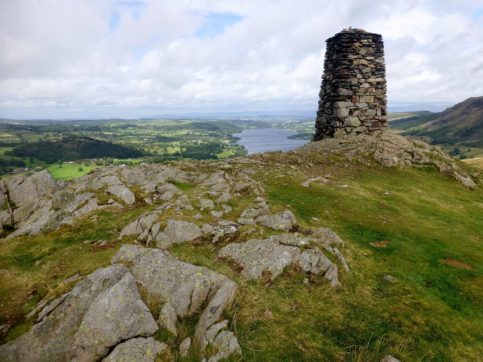
The walk starts from the parking opposite St Peter's church, on the hause at the top of the road from Howtown into Martindale. A path leaves the road just above the church and climbs the west side of the fell through bracken, then crosses a small plateau and goes up the craggy last rise to the summit, 388 m. A tall, square stone column marks the top. The view takes in Ullswater from end to end, with Helvellyn, Blencathra, High Street and Martindale Common round it. The return comes straight down the broad grassy main path to the church.
It is 1.6 km with 160 m of ascent; allow about 1 hour. The grade is Easy: short, but steep.
The grass slopes are steep and slippery when wet. In mist, the only sensible way down is the main path back to the church. Wainwright claimed that the southern side of Hallin Fell could be climbed comfortably in bare feet; boots are still the better choice.
Parking by the church is free but limited.
Route drawn by Global Adventurer along OpenStreetMap paths (© OpenStreetMap contributors, ODbL), with figures worked out from it. Check the forecast and the ground on the day: paths change.
Good to know
- A short climb to the obelisk on Hallin Fell, with views along Ullswater
- Starts at the hause by St Peter's church, above Howtown
Summits on the way
- Hallin Fell 388 m
Getting there
Start: St Peter's church car park, Martindale · Free parking. 54.56500, -2.87403
Places to stay nearby
Rooms in and around St Peter's church car park: Booking.com → Expedia →
Affiliate links: if you book, Global Adventurer earns a small commission at no cost to you.
Paths change, and the weather decides the day. The line and figures come from OpenStreetMap and our own checks; take a map, check the forecast, and turn back if it isn't right.


