Line © OpenStreetMap contributors (ODbL), checked by Global Adventurer.
The walk
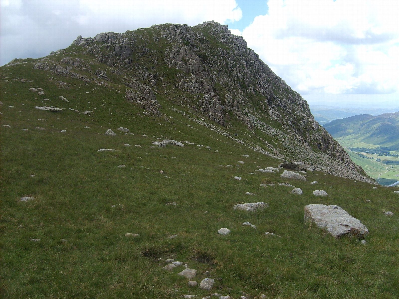
The walk starts from the National Trust car park at the Old Dungeon Ghyll. It follows Mickleden to the head of the valley and climbs the pitched path by Rossett Gill to Rossett Pike and Angle Tarn. A path continues to Esk Hause, then climbs to Esk Pike and drops to Ore Gap. Bowfell's summit is a pile of boulders above Langdale. The descent goes down a steep, rough path to Three Tarns and along the long ridge of The Band to Stool End Farm and the car park.
It is 16.4 km with 1,008 m of ascent; allow about 7½ hours. The grade is Hard: a long day over two high summits, rough and bouldery.
The tops are rough and bouldery, and Bowfell's summit has large gaps between the rocks. The descent to Three Tarns is steep and loose. Navigation in mist needs a map and compass. In winter the high ground holds snow and ice, and the Fell Top Assessors' reports from Helvellyn give a guide to conditions.
The Old Dungeon Ghyll car park charges non-members of the National Trust.
Route drawn by Global Adventurer along OpenStreetMap paths (© OpenStreetMap contributors, ODbL), with figures worked out from it. Check the forecast and the ground on the day: paths change.
Good to know
- The head of Great Langdale: up Mickleden and Rossett Gill to Angle Tarn and Esk Hause
- Over Esk Pike and Bowfell, down by Three Tarns and the long ridge of The Band
- Bowfell's summit is a pile of boulders
Summits on the way
- Rossett Pike 651 m
- Tongue Head 656 m · passed close by
- Esk Pike 885 m
- Bowfell 903 m
Getting there
Start: Old Dungeon Ghyll National Trust car park · Pay and display. 54.44531, -3.10226
Places to stay nearby
Rooms in and around Windermere: Booking.com → Expedia →
Affiliate links: if you book, Global Adventurer earns a small commission at no cost to you.
Paths change, and the weather decides the day. The line and figures come from OpenStreetMap and our own checks; take a map, check the forecast, and turn back if it isn't right.


