Line © OpenStreetMap contributors (ODbL), checked by Global Adventurer.
The walk
The walk starts from the roadside parking near the end of the minor road to Talisker, the hamlet rather than the distillery at Carbost. It follows the road to its end and takes the left-hand track, signed to the bay, past the white walls of Talisker House. Through another gate the track rises a little and emerges at the southern end of Talisker Bay. The return is the same way.
It is 4.0 km with 48 m of ascent; allow about 1 hour. The grade is Easy: a very easy walk on a minor road and a track.
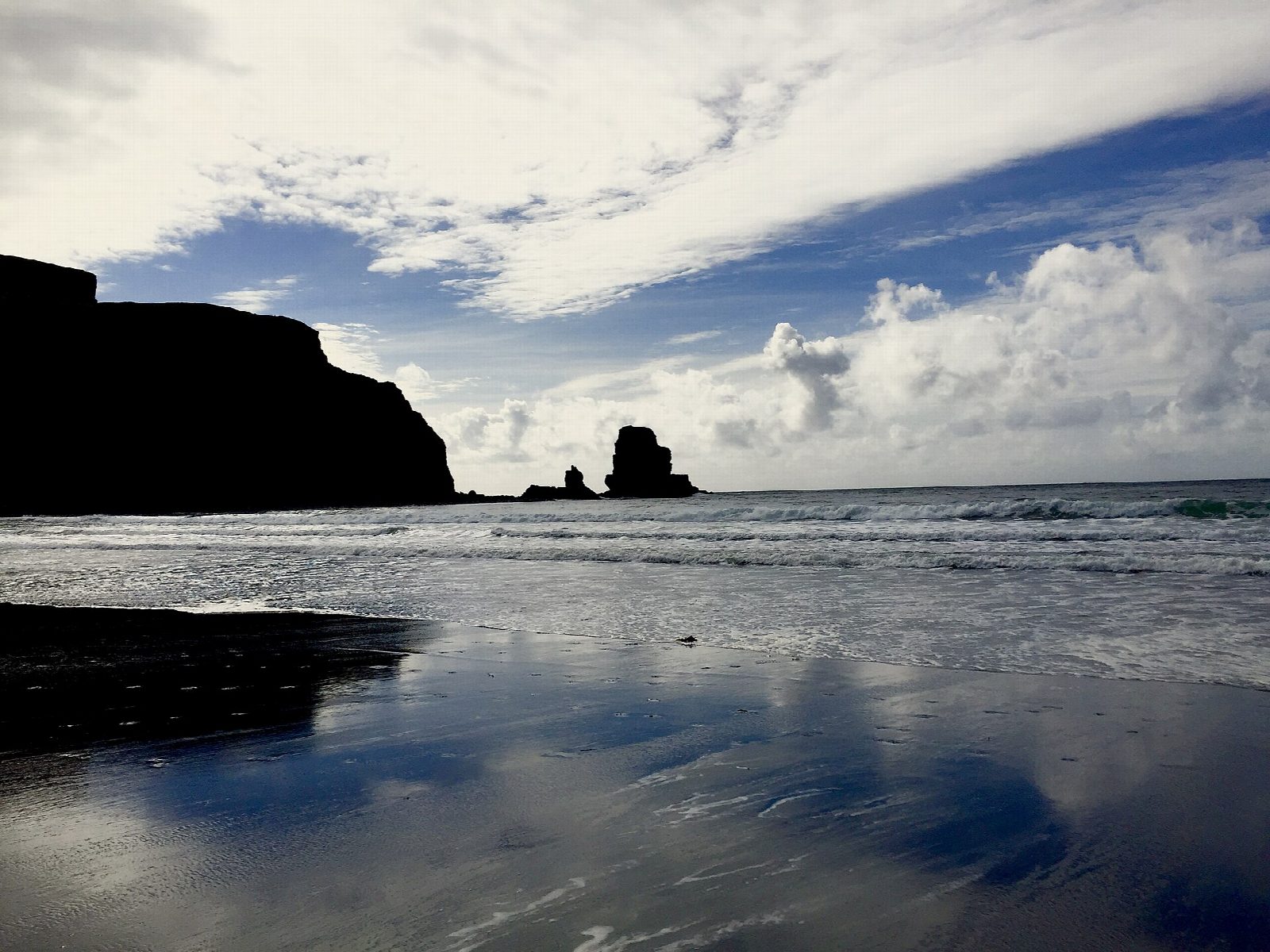
The beach is a mix of black and white sand, best seen at low tide. A sea stack stands off the southern end, and a waterfall pours over the cliffs at the northern end of the bay, which is known for its sunsets. Talisker House dates from the 1720s, and Johnson and Boswell stayed there on their tour of the Hebrides. Close the gates behind you.
Parking is roadside and free; do not block the turning area or passing places. There is no station on Skye.
Route drawn by Global Adventurer along OpenStreetMap paths (© OpenStreetMap contributors, ODbL), with figures worked out from it. Check the forecast and the ground on the day: paths change.
Good to know
- A beach of black and white sand with a sea stack and a waterfall over the northern cliffs
- Talisker House was visited by Johnson and Boswell in 1773
Getting there
Start: Talisker road-end parking. 57.28882, -6.43467
Places to stay nearby
Rooms in and around Isle of Skye: Booking.com → Expedia →
Affiliate links: if you book, Global Adventurer earns a small commission at no cost to you.
Paths change, and the weather decides the day. The line and figures come from OpenStreetMap and our own checks; take a map, check the forecast, and turn back if it isn't right.