Line © OpenStreetMap contributors (ODbL), checked by Global Adventurer.
The walk
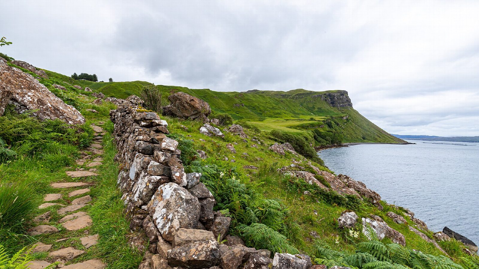
The walk starts from the parking bays on Scorrybreck Road in Portree, near the turning to the Cuillin Hills Hotel. A path runs along the wooded shore past the sailing club and through a gate onto land owned by the Clan Nicolson trust. It continues beside the water to a stone seat looking north along the coast, then turns uphill by a drystone wall and climbs in steep zigzags. Above, it crosses open ground, passes through a kissing gate and drops through birch woods back to the road and the start.
It is 3.1 km with 103 m of ascent; allow about 1 hour. The grade is Easy: well defined paths, though the second half is stony with a steep climb.
Scorrybreac is the ancestral land of the Nicolsons, and a memorial on the headland commemorates the members of the clan who helped buy it back. Across Loch Portree are Ben Tianavaig and the island of Raasay; white-tailed eagles nest on the cliffs of Ben Tianavaig, and seals often swim by the shore.
There are marked parking bays by the shore at the start. There is no station on Skye.
Route drawn by Global Adventurer along OpenStreetMap paths (© OpenStreetMap contributors, ODbL), with figures worked out from it. Check the forecast and the ground on the day: paths change.
Good to know
- Scorrybreac is the ancestral land of the Nicolsons, bought back by the Clan Nicolson trust
- Views across Loch Portree to Ben Tianavaig and Raasay
Getting there
Start: Scorrybreac Road parking, Portree. 57.41540, -6.18472
Places to stay nearby
Rooms in and around Scorrybreac Road parking: Booking.com → Expedia →
Affiliate links: if you book, Global Adventurer earns a small commission at no cost to you.
Paths change, and the weather decides the day. The line and figures come from OpenStreetMap and our own checks; take a map, check the forecast, and turn back if it isn't right.