Line © OpenStreetMap contributors (ODbL), checked by Global Adventurer.
The walk
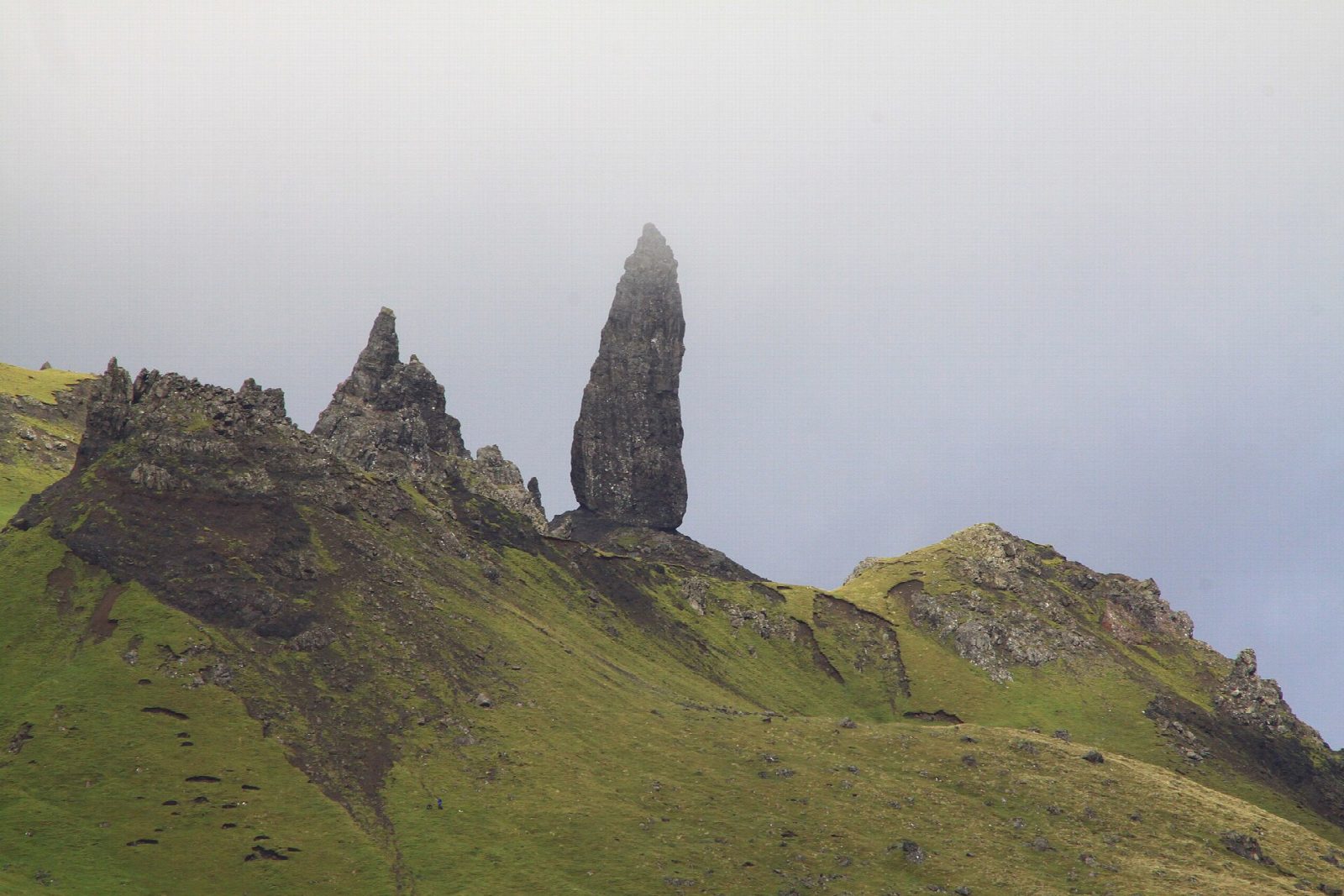
The walk starts from the large Storr car park on the A855 north of Portree. The wide path climbs through a felled forest and two gates onto open moor, with the cliffs of the Storr ahead and views back to Raasay and Applecross. Higher up, a branch path leads off left and climbs to the foot of the Old Man. The route passes behind the pinnacle through the Sanctuary, among towering cliffs and spires, and continues north below the cliffs to a small col with a view back over the Old Man. The return is the same way.
It is 4.8 km with 348 m of ascent; allow about 2½ hours. The grade is Easy, but the upper path is steep, rocky and eroded.
Signs warn of rockfall in the Sanctuary; avoid it after heavy rain and keep to the path. The Old Man is a basalt pinnacle about 50 m high, part of a huge landslip below the Storr. The path is very busy in summer, so start early or late.
The car park charges, and has toilets. There is no station on Skye.
Route drawn by Global Adventurer along OpenStreetMap paths (© OpenStreetMap contributors, ODbL), with figures worked out from it. Check the forecast and the ground on the day: paths change.
Good to know
- The Old Man of Storr is a basalt pinnacle about 50 m high below the cliffs of the Storr
- Signs warn of rockfall in the Sanctuary behind the pinnacle
Summits on the way
- Old Man of Storr 535 m · passed close by
- The Old Boy 512 m · passed close by
- Needle Rock [The Cathedral] 505 m · passed close by
Getting there
Start: Storr car park · Pay and display. 57.49836, -6.15891
Places to stay nearby
Rooms in and around Kyle of Lochalsh: Booking.com → Expedia →
Affiliate links: if you book, Global Adventurer earns a small commission at no cost to you.
Paths change, and the weather decides the day. The line and figures come from OpenStreetMap and our own checks; take a map, check the forecast, and turn back if it isn't right.