Line © OpenStreetMap contributors (ODbL), checked by Global Adventurer.
The walk
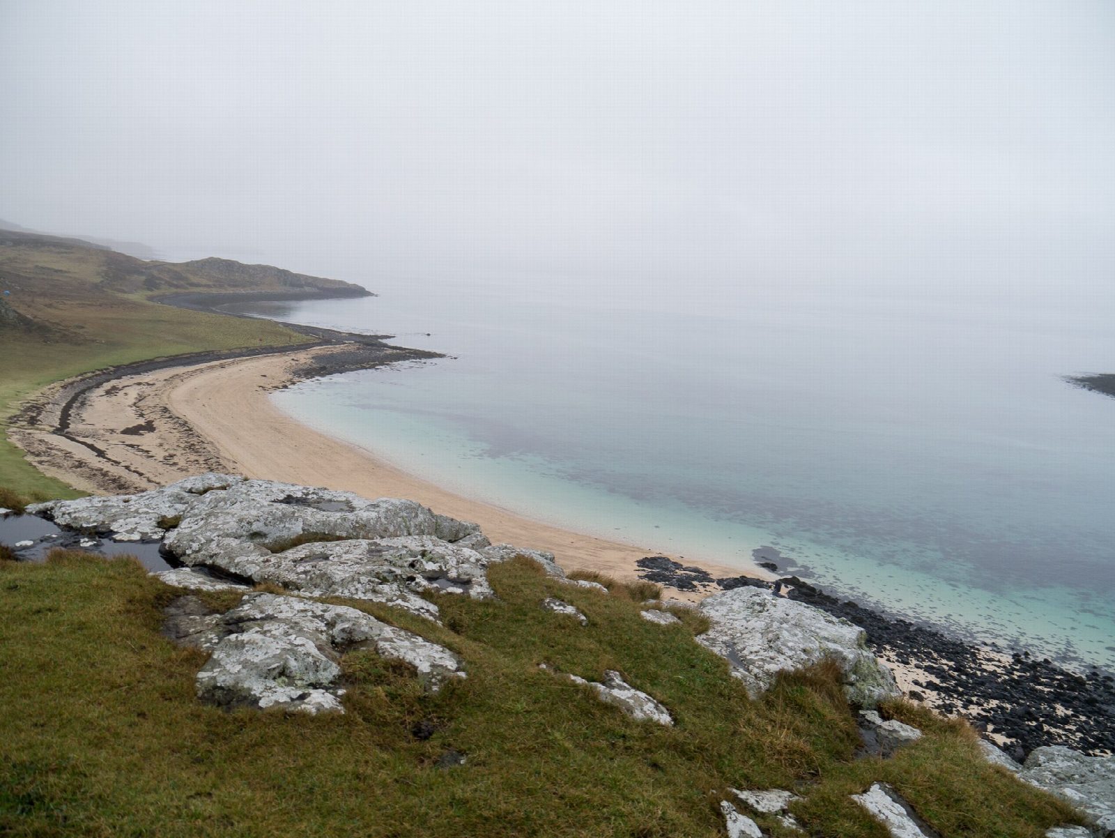
The walk starts from the car park at the road end at Claigan, north of Dunvegan Castle. A track leads through a gate and down to the coast, then along the shore of Loch Dunvegan with views across to Dunvegan Head. At the pebbly bay of Camas Bàn the route bears left across the grass, through a gap in a drystone wall and over a low rise, to the Coral Beach. It follows the sands to their northern end. The return is the same way.
It is 3.9 km with 44 m of ascent; allow about 1 hour. The grade is Easy: level, on a track and a grassy path.
The white 'coral' is maerl, a seaweed that dries and bleaches in the sun, mixed with tiny shells. Seals often haul out on the rocks offshore, and the islands of Lampay and Isay lie off the end of the beach. The small flat-topped hill behind the beach, Cnoc Mòr a' Ghrobain, is worth the short climb for the view over the beaches.
Do not block gates when parking. There is no station on Skye.
Route drawn by Global Adventurer along OpenStreetMap paths (© OpenStreetMap contributors, ODbL), with figures worked out from it. Check the forecast and the ground on the day: paths change.
Good to know
- The 'coral' is maerl, a dried calcified seaweed, not true coral
- Views over Loch Dunvegan to Isay and the Outer Hebrides
Summits on the way
- Cnoc Mòr a' Ghrogain 28 m · passed close by
Getting there
Start: Claigan car park. 57.48909, -6.62285
Places to stay nearby
Rooms in and around Isle of Skye: Booking.com → Expedia →
Affiliate links: if you book, Global Adventurer earns a small commission at no cost to you.
Paths change, and the weather decides the day. The line and figures come from OpenStreetMap and our own checks; take a map, check the forecast, and turn back if it isn't right.


