Line © OpenStreetMap contributors (ODbL), checked by Global Adventurer.
The walk
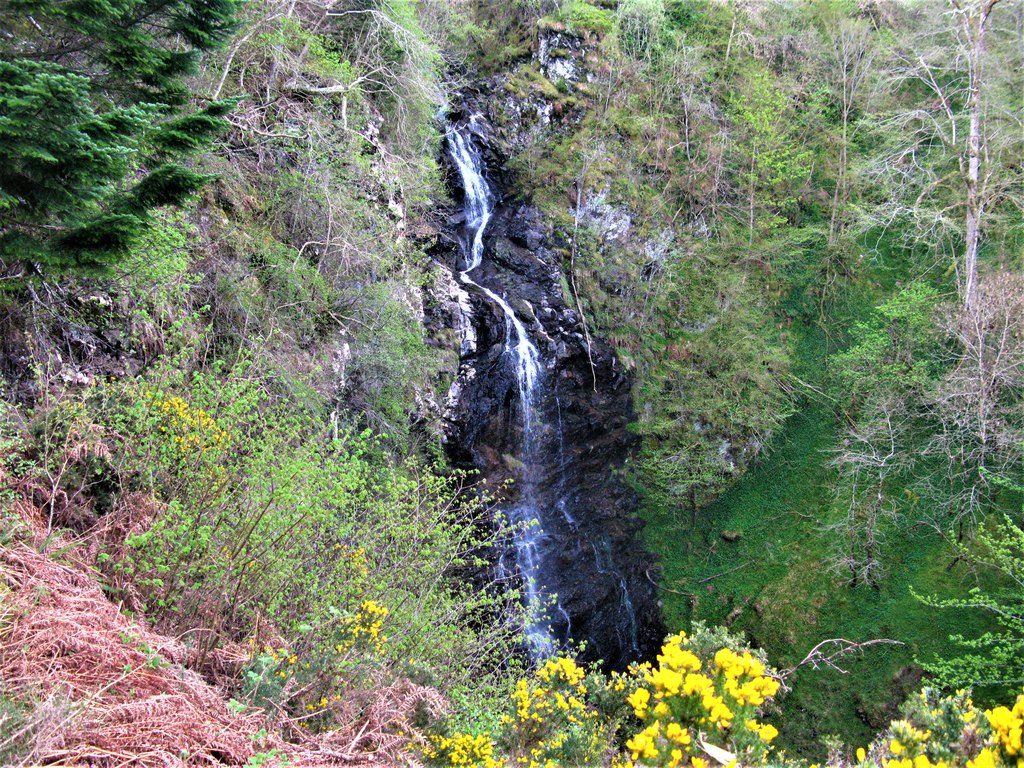
From the village car park in Drumnadrochit, walk south along the main road and up Pitkerrald Road to the lane into the Craigmonie woods. Paths lead west along the edge of the woods above Glen Urquhart, then climb to a crossroads and on to the top of Craigmonie, a crag with a seat looking over Drumnadrochit to Loch Ness. Beyond it, paths wind down through the woods to the minor road beside the River Coiltie, which crosses the river and zigzags steeply up to the small Divach Falls car park. A signed path leads down to a fenced viewpoint over the falls. The return follows the road back down to Lewiston and the main road.
It is 11.1 km with 351 m of ascent; allow about 3¾ hours. The grade is Moderate: waymarked paths and quiet roads, with two steady climbs.
Craigmonie was an Iron Age fort and is said to be named after a Norse prince. The Divach Falls drop about 30 m and are at their best after heavy rain. About a third of the walk is on minor roads, so watch for traffic. Red squirrels and woodpeckers live in the woods, which are being returned to native birch.
The village car park in Drumnadrochit charges, according to OpenStreetMap. Buses between Inverness and Fort William stop in Drumnadrochit.
Route drawn by Global Adventurer along OpenStreetMap paths (© OpenStreetMap contributors, ODbL), with figures worked out from it. Check the forecast and the ground on the day: paths change.
Good to know
- Craigmonie is a wooded crag above Drumnadrochit with the site of an Iron Age fort
- The Divach Falls drop about 30 m in a wooded gorge
- Part of the way follows the Affric Kintail Way through community woodland
Getting there
Start: Drumnadrochit village car park · Pay and display. 57.33515, -4.48028
Places to stay nearby
Rooms in and around Beauly: Booking.com → Expedia →
Affiliate links: if you book, Global Adventurer earns a small commission at no cost to you.
Paths change, and the weather decides the day. The line and figures come from OpenStreetMap and our own checks; take a map, check the forecast, and turn back if it isn't right.