Line © OpenStreetMap contributors (ODbL), checked by Global Adventurer.
The walk
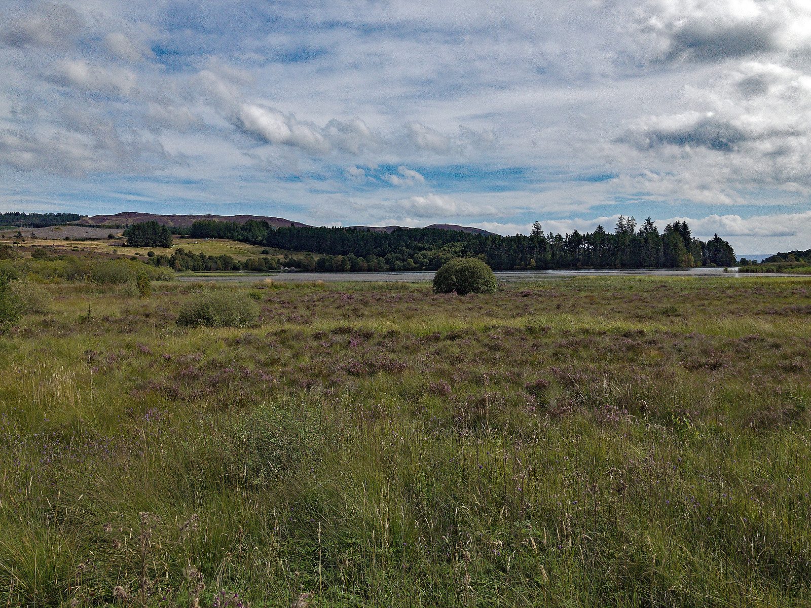
From the Abriachan Forest car park west of Loch Laide, a path leads past the thatched toilets to a junction of boardwalks and on to a wildlife hide over Loch Laide. Back at the junction, the way passes a reconstructed Bronze Age hut and climbs through young woodland, with views north to Ben Wyvis. At a signed junction the path heads out across the moor to the cairn on Càrn na Leitire (434 m), a fine viewpoint over the Great Glen. It then descends east to the Peat Path and a forest track, which loops back west through the pines and joins the Great Glen Way track to the car park.
It is 8.5 km with 242 m of ascent; allow about 2¾ hours. The grade is Easy: good paths and tracks, with a steady climb onto the moor.
The forest and moor were bought by the Abriachan Forest Community Trust in 1998, and its paths are well made and signed. Whooper swans may be seen on Loch Laide. A reconstructed shieling and an illicit whisky still stand near the route, signed off the tracks.
The car park is free and has toilets. There is no public transport to the start. The nearest station is Beauly, about 11 km away.
Route drawn by Global Adventurer along OpenStreetMap paths (© OpenStreetMap contributors, ODbL), with figures worked out from it. Check the forecast and the ground on the day: paths change.
Good to know
- Paths laid out by the Abriachan Forest Community Trust, which bought the forest in 1998
- A wildlife hide looks over Loch Laide, where whooper swans may be seen
- Càrn na Leitire (434 m) is a moorland viewpoint over the Great Glen
- Reconstructions of a shieling and a whisky still stand near the paths
Summits on the way
- Carn na Leitire 434 m · passed close by
Getting there
Start: Abriachan Forest car park, west of Loch Laide · Free parking. 57.38491, -4.42986
Places to stay nearby
Rooms in and around Abriachan Forest car park: Booking.com → Expedia →
Affiliate links: if you book, Global Adventurer earns a small commission at no cost to you.
Paths change, and the weather decides the day. The line and figures come from OpenStreetMap and our own checks; take a map, check the forecast, and turn back if it isn't right.