Line © OpenStreetMap contributors (ODbL), checked by Global Adventurer.
The hike
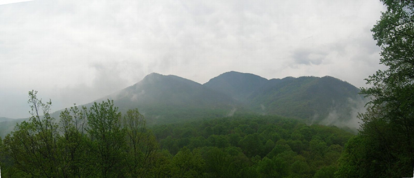
The walk starts at the Alum Cave Trailhead on Newfound Gap Road (US 441), on the Tennessee side of the park. The trail follows Alum Cave Creek and Styx Branch through forest, climbs steps through Arch Rock, a tunnel in the rock, and reaches Alum Cave Bluffs, a high overhang rather than a cave, at 2.3 miles. Above, the trail climbs steeply, in places along narrow ledges with cable handholds, to LeConte Lodge, which can only be reached on foot. A short trail leads on to High Top, the 6,593-foot summit. Return the same way.
It is 10.7 miles (17.3 km) round trip with 2,770 feet (844 m) of climbing; allow about 6½ hours. The grade is Hard: a long, steep climb on rocky trail.
Any vehicle parked in the park for more than 15 minutes needs a parking tag: $5 a day, $15 a week or $40 a year, bought online, at visitor centers or at machines at some trailheads, and displayed on the dashboard. In cold weather expect ice on the trail and falling icicles; microspikes are recommended in winter. Pets are not allowed. Black bears live here: stay at least 50 yards away.
The trailhead lots fill early on busy days, so arrive early.
Route drawn by Global Adventurer along OpenStreetMap paths (© OpenStreetMap contributors, ODbL), with figures worked out from it. Check the forecast and the ground on the day: paths change.
Good to know
- Through Arch Rock, a tunnel in the rock with steps inside it
- Alum Cave Bluffs is an overhang, not a cave
- LeConte Lodge near the top can only be reached on foot
Summits on the way
- Peregrine Peak 5,344 ft (1,629 m) · passed close by
- Cliff Top 6,552 ft (1,997 m) · passed close by
- Mount le Conte - High Top 6,594 ft (2,010 m) · passed close by
- Mount Le Conte 6,575 ft (2,004 m)
Getting there
Start: Alum Cave Trailhead · Free parking. 35.62954, -83.45160
Places to stay nearby
Rooms in and around Great Smoky Mountains: Booking.com → Expedia →
Affiliate links: if you book, Global Adventurer earns a small commission at no cost to you.
Paths change, and the weather decides the day. The line and figures come from OpenStreetMap and our own checks; take a map, check the forecast, and turn back if it isn't right.