Line © OpenStreetMap contributors (ODbL), checked by Global Adventurer.
The hike
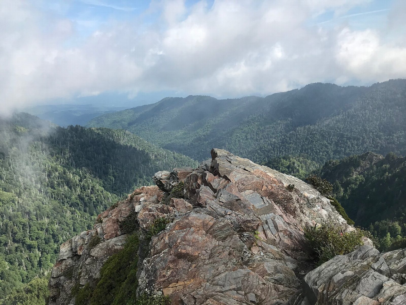
The walk starts at the Newfound Gap parking area on Newfound Gap Road (US 441), on the Tennessee and North Carolina state line. The trailhead is at the end of the parking area, to the left of the overlook. Follow the Appalachian Trail east as it climbs steadily along the ridge. It passes the Sweat Heifer Creek Trail junction, then the Boulevard Trail, which forks left for Mount Le Conte. Keep straight on past Icewater Spring Shelter. The trail narrows, drops past Masa Knob, and a short spur on the left leads out to Charlies Bunion. Return the same way.
It is 8.1 miles (13.1 km) round trip with 1,730 feet (528 m) of climbing; allow about 4½ hours. The grade is Moderate: a long ridge walk with steady climbs in both directions, on a trail of roots and rocks.
The Bunion is a rock outcrop with cliffs on its far side, so keep children close. The trail stays near 6,000 feet and can be dangerous in bad weather; expect ice in winter. The water at Icewater Spring must be treated before drinking.
A parking tag is needed to park anywhere in the park for more than 15 minutes: $5 a day, $15 a week or $40 a year. Newfound Gap is busy, so arrive early. Pets are not allowed on the trail.
Route drawn by Global Adventurer along OpenStreetMap paths (© OpenStreetMap contributors, ODbL), with figures worked out from it. Check the forecast and the ground on the day: paths change.
Good to know
- East along the Appalachian Trail on the Tennessee–North Carolina state-line ridge
- Charlies Bunion is a bare rock knob with sheer drops on its far side: keep children close
- A parking tag is needed to park anywhere in the park for more than 15 minutes
Summits on the way
- Mount Ambler 6,119 ft (1,865 m) · passed close by
- Masa Knob 5,689 ft (1,734 m) · passed close by
- Charlies Bunyon 5,528 ft (1,685 m) · passed close by
Getting there
Start: Newfound Gap parking area · Parking fee. 35.61063, -83.42576
Places to stay nearby
Rooms in and around Great Smoky Mountains: Booking.com → Expedia →
Affiliate links: if you book, Global Adventurer earns a small commission at no cost to you.
Paths change, and the weather decides the day. The line and figures come from OpenStreetMap and our own checks; take a map, check the forecast, and turn back if it isn't right.

