Line © OpenStreetMap contributors (ODbL), checked by Global Adventurer.
The hike
The walk starts at the Abrams Falls Trailhead, at the end of Abrams Falls Road, which leaves the one-way Cades Cove Loop Road between signposts 10 and 11. Cross the footbridge at the trailhead and turn left. The Abrams Falls Trail follows Abrams Creek downstream through rhododendron, hemlock and pine, rising over a few low ridges and dropping back to the creek each time. A short side trail on the left crosses a footbridge to the pool at the foot of the falls. Return the same way.
It is 4.7 miles (7.5 km) round trip with 450 feet (138 m) of climbing; allow about 2 hours. The grade is Easy: the ups and downs are short, on a path with some roots and rocks.
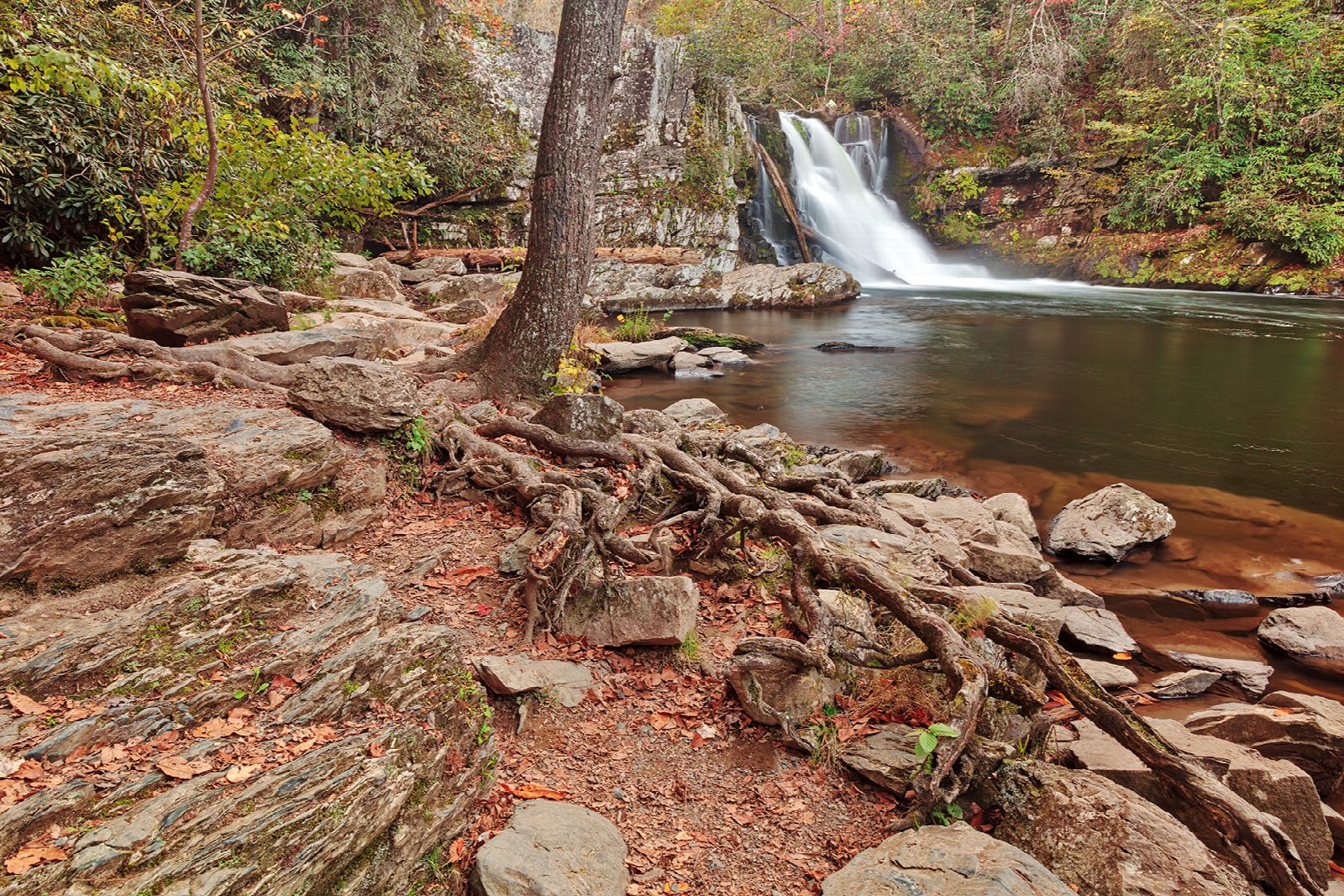
The falls are only 25 feet high but carry a great deal of water. Do not swim here: the park strongly discourages it because of slippery rocks and a deadly undertow, and people have drowned.
The loop road is slow: the park says to allow up to three or four hours to drive it. It is open from sunrise to sunset and is closed to cars each Wednesday, typically from May through September. A parking tag is needed to park for more than 15 minutes: $5 a day, $15 a week or $40 a year. Pets are not allowed on the trail.
Route drawn by Global Adventurer along OpenStreetMap paths (© OpenStreetMap contributors, ODbL), with figures worked out from it. Check the forecast and the ground on the day: paths change.
Good to know
- Only about 25 ft high, but it carries a huge volume of water
- Don't swim below the falls: strong currents and undertow have drowned people here
- Reached by the one-way Cades Cove Loop Road, which is slow on summer days
Getting there
Start: Abrams Falls Trailhead, Cades Cove. 35.59117, -83.85242
Places to stay nearby
Rooms in and around Abrams Falls Trailhead: Booking.com → Expedia →
Affiliate links: if you book, Global Adventurer earns a small commission at no cost to you.
Paths change, and the weather decides the day. The line and figures come from OpenStreetMap and our own checks; take a map, check the forecast, and turn back if it isn't right.
