Line © OpenStreetMap contributors (ODbL), checked by Global Adventurer.
The hike
The walk starts at the hiker parking area by the entrance to Cosby Campground. Walk up through the campground to the Low Gap Trail, which climbs the valley of Cosby Creek in switchbacks through hardwood forest. It is steep and unbroken for nearly three miles, to Low Gap on the crest. Turn left on the Appalachian Trail, which climbs for another mile and then levels off along the ridge. At a signed junction the Mount Cammerer Trail leaves on the left. It runs fairly level for 0.6 miles, with a short rock scramble at the end, to the lookout on the summit rocks. Return the same way.
It is 11.0 miles (17.7 km) round trip with 2,920 feet (891 m) of climbing; allow about 7 hours. The grade is Hard: long, with a steep and sustained climb to the ridge.
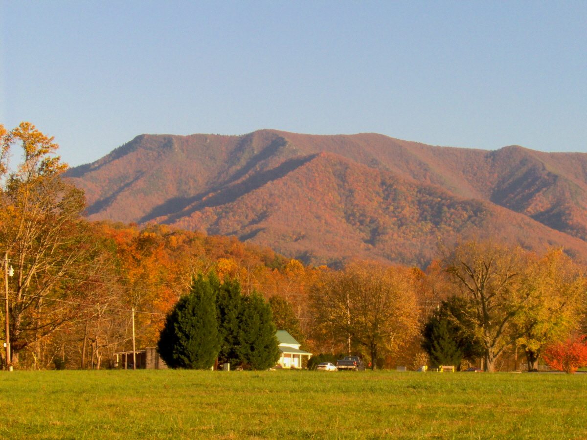
The lookout, built of stone and timber in the 1930s, stands on an outcrop at 4,928 feet above the Pigeon River gorge. The rocks around it have steep drops. Start early and carry plenty of water: there is none on the ridge.
A parking tag is needed to park for more than 15 minutes: $5 a day, $15 a week or $40 a year. Pets are not allowed on the trail. Black bears are active in this area; keep at least 50 yards away.
Route drawn by Global Adventurer along OpenStreetMap paths (© OpenStreetMap contributors, ODbL), with figures worked out from it. Check the forecast and the ground on the day: paths change.
Good to know
- A 1930s stone-and-timber fire lookout stands on a rock outcrop at the top
- Up the Low Gap Trail to the Appalachian Trail, then along the ridge
- Long and steep: start early and carry enough water
Summits on the way
- Mount Cammerer 4,928 ft (1,502 m)
Getting there
Start: Cosby hiker parking (Low Gap Trail) · Free parking. 35.75615, -83.20819
Places to stay nearby
Rooms in and around Great Smoky Mountains: Booking.com → Expedia →
Affiliate links: if you book, Global Adventurer earns a small commission at no cost to you.
Paths change, and the weather decides the day. The line and figures come from OpenStreetMap and our own checks; take a map, check the forecast, and turn back if it isn't right.