Line © OpenStreetMap contributors (ODbL), checked by Global Adventurer.
The hike
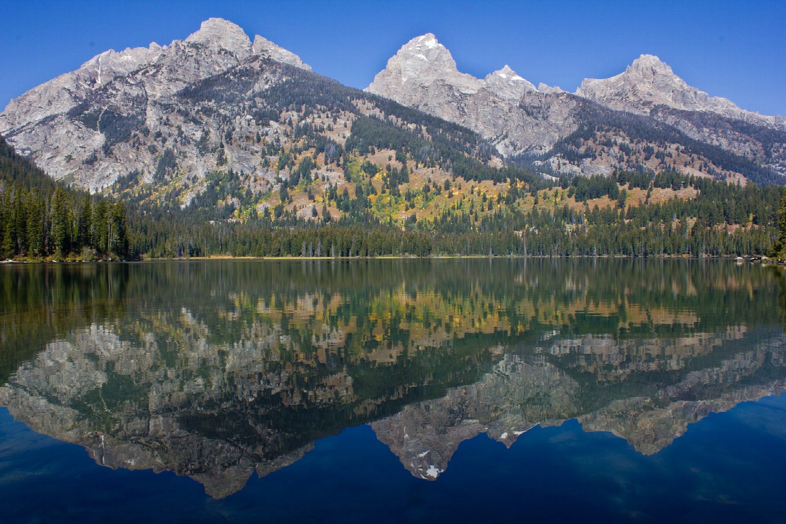
The walk starts at the Taggart Lake Trailhead on the Teton Park Road north of Moose. The trail crosses sagebrush flats and winds up an aspen-covered moraine to Taggart Lake, which lies below the Grand Teton. From the lake's outlet the loop climbs north over the moraine between the two lakes to Bradley Lake, then comes back by the Bradley Lake Trail to rejoin the way you came in.
It is a 5.2-mile (8.4 km) loop with 530 feet (163 m) of climbing; allow about 2½ hours. The grade is Easy: good trails with a few short climbs over the moraines.
Until November 15, 2026, the Taggart Lake Trail is closed for rebuilding between the first junction and the Bradley Lake Trail. Take the marked southern route by Beaver Creek to and from Taggart Lake, and walk the loop to Bradley Lake from there; this makes the walk about a mile longer and steeper. Bears may be about at any time: carry bear spray, make noise and hike in a group.
The trailhead can be reached all year: from November 1 to April 30 the Teton Park Road closes to cars just beyond it.
Route drawn by Global Adventurer along OpenStreetMap paths (© OpenStreetMap contributors, ODbL), with figures worked out from it. Check the forecast and the ground on the day: paths change.
Good to know
- Two glacial lakes held behind moraines at the foot of the Grand Teton
- Through young forest regrowing after the 1985 Beaver Creek Fire
- Black bears and grizzlies both live here: carry bear spray
Getting there
Start: Taggart Lake Trailhead · Free parking. 43.69286, -110.73270
Places to stay nearby
Rooms in and around Grand Teton National Park: Booking.com → Expedia →
Affiliate links: if you book, Global Adventurer earns a small commission at no cost to you.
Paths change, and the weather decides the day. The line and figures come from OpenStreetMap and our own checks; take a map, check the forecast, and turn back if it isn't right.