Line © OpenStreetMap contributors (ODbL), checked by Global Adventurer.
The hike
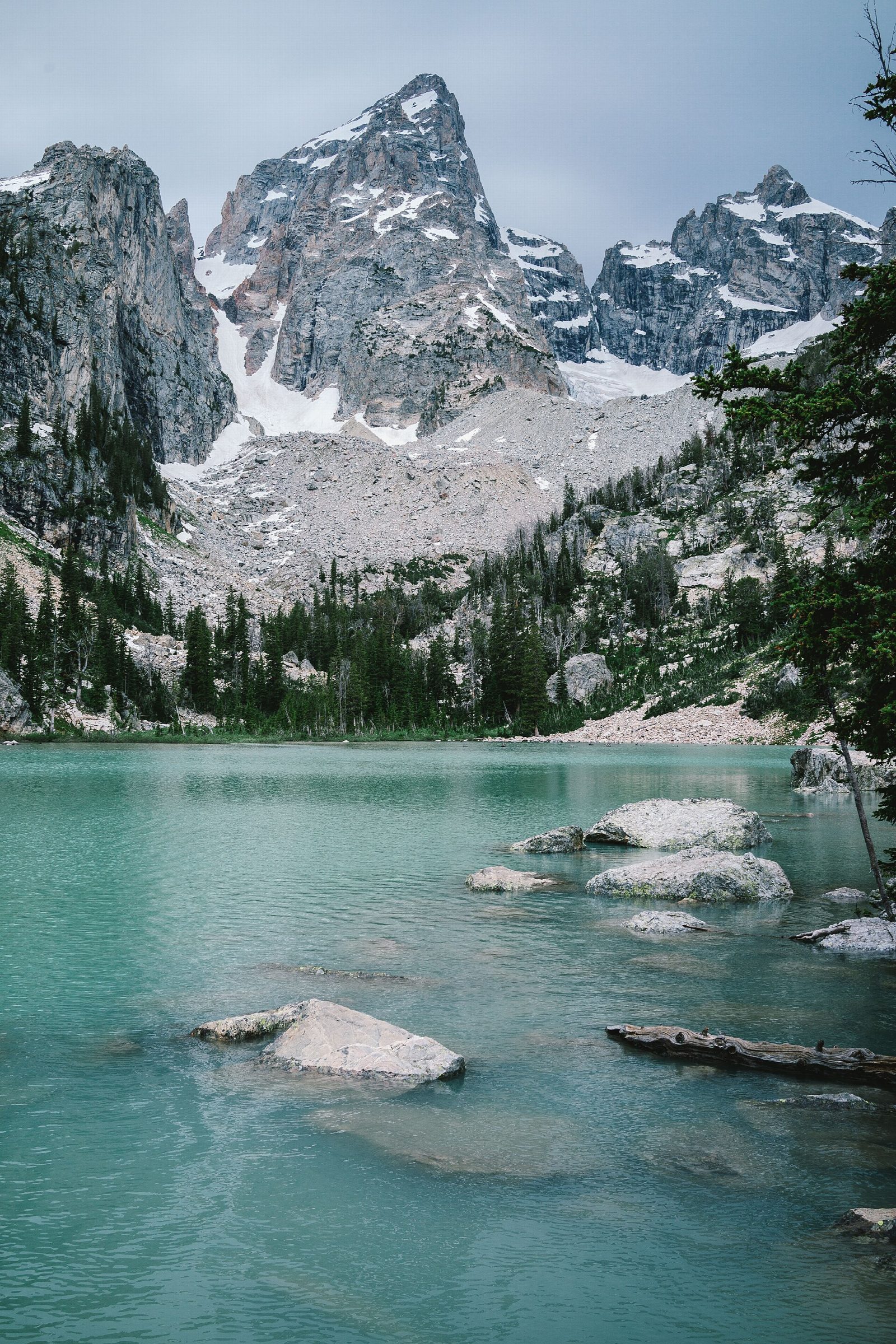
The walk starts at the Lupine Meadows Trailhead, at the end of a gravel road off the Teton Park Road south of Jenny Lake. It follows the trail to Surprise and Amphitheater Lakes up its long switchbacks for about 3 miles, then leaves it at a switchback on an unofficial route. This climbs steeply through trees and across two boulder fields to Delta Lake, in Glacier Gulch below the Grand Teton, where rock flour from the Teton Glacier colors the water. Return the same way.
It is 7.3 miles (11.8 km) round trip with 2,300 feet (700 m) of climbing; allow about 5 hours. The grade is Hard: a long climb, finishing on a steep, rough route with boulder hopping.
The last half mile is not an official park trail and has no signs. It is steep and slippery in places, and the boulder fields need sure footing and good boots. In summer 2026 the park and the Access Fund defined a path through the worst sections, including the boulder field: follow it and keep off the old side paths being restored. Bears may be about at any time: carry bear spray, make noise and hike in a group.
From November 1 to April 30, the Teton Park Road is closed to cars beyond the Taggart Lake Trailhead.
Route drawn by Global Adventurer along OpenStreetMap paths (© OpenStreetMap contributors, ODbL), with figures worked out from it. Check the forecast and the ground on the day: paths change.
Good to know
- A milky blue lake right under the Grand Teton, fed by meltwater from the Teton Glacier
- The last part is an unmaintained route over boulder fields, steep and easy to lose
- Shares the Amphitheater Lake switchbacks before branching off; start early for parking
Getting there
Start: Lupine Meadows Trailhead. 43.73538, -110.74126
Places to stay nearby
Rooms in and around Grand Teton National Park: Booking.com → Expedia →
Affiliate links: if you book, Global Adventurer earns a small commission at no cost to you.
Paths change, and the weather decides the day. The line and figures come from OpenStreetMap and our own checks; take a map, check the forecast, and turn back if it isn't right.
