Line © OpenStreetMap contributors (ODbL), checked by Global Adventurer.
The hike
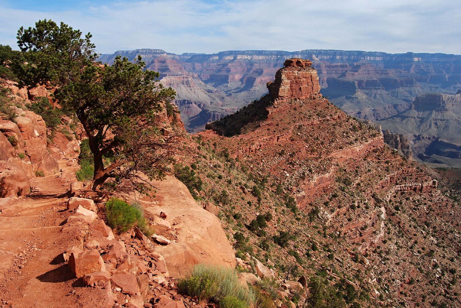
Private cars are not allowed at the South Kaibab Trailhead: park at the Grand Canyon Visitor Center and take the free Kaibab Rim (Orange) shuttle. The trail drops through tight switchbacks below the rim, then follows the crest of a ridge to Ooh Aah Point and on to Cedar Ridge, a broad flat with toilets. It carries on down and round the east side of O'Neill Butte to Skeleton Point, three miles from the rim, where the Colorado River comes into view. Return the same way.
It is 5.9 miles (9.5 km) round trip with 2,080 feet (634 m) of climbing; allow about 4½ hours. The grade is Moderate: the way down is easy, but all of the climbing comes on the way back, in full sun. The park allows four to six hours.
The park says not to go beyond Skeleton Point on a day hike, and not beyond Cedar Ridge in summer, when you should keep off the trail between 10 a.m. and 4 p.m. There is no water on the trail. After the flood of August 2026 the South Rim is under water restrictions: drinking water at the trailhead comes from a tank by the restrooms, so bring your own if you can. The trail is closed below the Tip-Off, well beyond this walk. Give mules the right of way.
Route drawn by Global Adventurer along OpenStreetMap paths (© OpenStreetMap contributors, ODbL), with figures worked out from it. Check the forecast and the ground on the day: paths change.
Good to know
- Down an open ridge past Ooh Aah Point and Cedar Ridge to a first view of the Colorado River
- Skeleton Point is as far as the park suggests going on this trail and back in a day
- Reached by the free shuttle; no water and little shade, and the climb out is the hard half
Getting there
Start: South Kaibab Trailhead. 36.05294, -112.08374
Places to stay nearby
Rooms in and around Grand Canyon: Booking.com → Expedia →
Affiliate links: if you book, Global Adventurer earns a small commission at no cost to you.
Paths change, and the weather decides the day. The line and figures come from OpenStreetMap and our own checks; take a map, check the forecast, and turn back if it isn't right.
