Line © OpenStreetMap contributors (ODbL), checked by Global Adventurer.
The hike
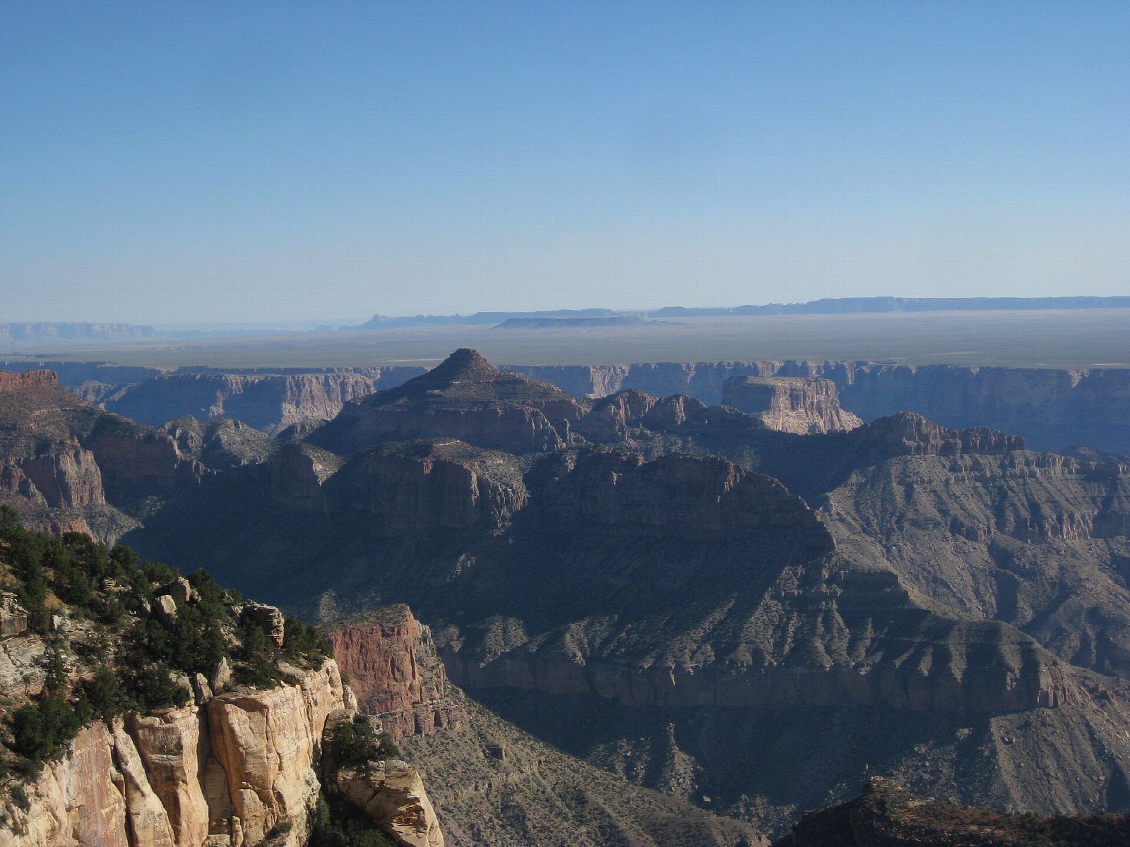
The trailhead is a small dirt car park beside Cape Royal Road, 2.4 miles north of the Cape Royal car park. The trail climbs gently through ponderosa pine forest; the first half is in the trees all the way. Then the views begin to open to the east, and the path, rockier now, runs out to the bare point of Cape Final, with no shade and a wide view over the eastern canyon to the Painted Desert. Return the same way.
It is 4.1 miles (6.6 km) round trip with 500 feet (153 m) of climbing; allow about 2 hours. The grade is Easy: it is gentle all the way, though at about 8,000 feet.
Cape Final was named by the geologist Clarence Dutton in 1880. Cape Royal Road is closed for repairs from sunset on October 15 to sunrise on November 3, 2026, so the trailhead cannot be reached then. The North Rim is open from mid-May until November 30 or the first big snowstorm. In 2026 there is no drinking water anywhere on the North Rim: bring all you need. The trail may close at short notice because of hazards left by the 2025 fire. Vehicles over 22 feet are not allowed on the road, and no toilets or water are listed at the trailhead.
Route drawn by Global Adventurer along OpenStreetMap paths (© OpenStreetMap contributors, ODbL), with figures worked out from it. Check the forecast and the ground on the day: paths change.
Good to know
- An easy walk through ponderosa pine to a point on the far eastern edge of the North Rim
- Views across the eastern canyon to the Painted Desert
- On Cape Royal Road, open from mid-May to the end of November; there is no water, so bring your own
Getting there
Start: Cape Final Trailhead. 36.14575, -111.93543
Places to stay nearby
Rooms in and around Grand Canyon: Booking.com → Expedia →
Affiliate links: if you book, Global Adventurer earns a small commission at no cost to you.
Paths change, and the weather decides the day. The line and figures come from OpenStreetMap and our own checks; take a map, check the forecast, and turn back if it isn't right.

