Line © OpenStreetMap contributors (ODbL), checked by Global Adventurer.
The walk
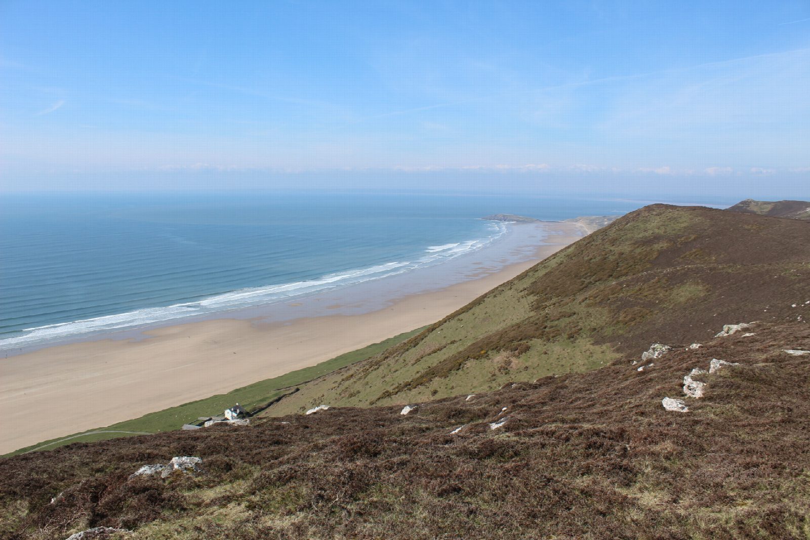
The walk starts from the National Trust car park at Rhossili. First follow the level path along the headland to the old coastguard lookout above the causeway to Worm's Head, and come back the same way. Then go through the village by the church and climb steeply onto Rhossili Down. The path runs north along the crest over The Beacon, 193 m, the highest point of Gower, past the remains of a wartime radar station, and falls to the caravan park at Hillend. Turn back south on the path along the foot of the down, above the sands of Rhossili Bay, nearly three miles long, past the Old Rectory to the village.
It is 10.5 km with 264 m of ascent; allow about 3¼ hours. The grade is Moderate.
This walk does not cross to Worm's Head. The causeway is open for only about two and a half hours either side of low tide, and people are cut off every year: if you go on, check the crossing times at the lookout first. The climb onto the down is steep, and the top is open to the wind.
The car park charges.
Route drawn by Global Adventurer along OpenStreetMap paths (© OpenStreetMap contributors, ODbL), with figures worked out from it. Check the forecast and the ground on the day: paths change.
Good to know
- Worm's Head takes its name from the Old English for a sea serpent
- The Beacon, 193 m, on Rhossili Down is the highest point of Gower
- The remains of a wartime radar station lie on the down
- The causeway to the Worm is open for only about two and a half hours either side of low tide
Summits on the way
- Rhossili Down - The Beacon 193 m
- Rhossili Down 185 m · passed close by
Getting there
Start: Rhossili car park · Pay and display. 51.56839, -4.29040
Places to stay nearby
Rooms in and around Pembrey and Burry Port: Booking.com → Expedia →
Affiliate links: if you book, Global Adventurer earns a small commission at no cost to you.
Paths change, and the weather decides the day. The line and figures come from OpenStreetMap and our own checks; take a map, check the forecast, and turn back if it isn't right.