Line © OpenStreetMap contributors (ODbL), checked by Global Adventurer.
The walk
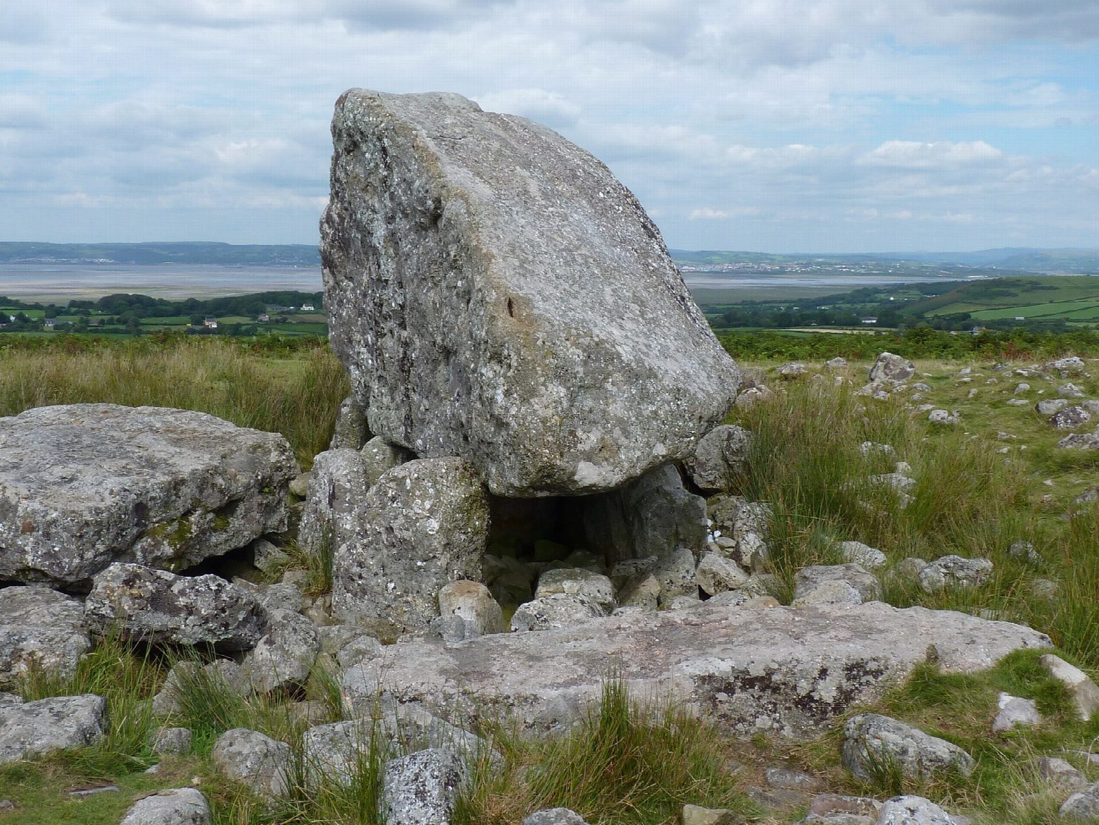
The walk starts from the car park at the top of the road over Cefn Bryn, east of Reynoldston. First cross the road and follow the grassy path north for a few minutes to Arthur's Stone, Maen Ceti, a Neolithic burial place under a great boulder. Return to the road and take the broad track that runs south-east along the crest of the ridge. It rises and falls gently for about 3 km to the highest point of Cefn Bryn, at 188 m, with wide views over Oxwich Bay and the rest of the peninsula. The ridge is five miles of Old Red Sandstone, known locally as the backbone of Gower. The return is back along the ridge.
It is 7.0 km with 62 m of ascent; allow about 2 hours. The grade is Easy.
The going is easy, on grass and stony track, though wet in places after rain. The ridge is open common and exposed to the wind. Ponies, sheep and cattle graze it freely, so keep dogs under close control, and take care crossing the road at the start, where the animals wander too.
Parking is free. There is no shelter or water on the ridge.
Route drawn by Global Adventurer along OpenStreetMap paths (© OpenStreetMap contributors, ODbL), with figures worked out from it. Check the forecast and the ground on the day: paths change.
Good to know
- Cefn Bryn is a five-mile ridge of Old Red Sandstone, 188 m at its highest, called the backbone of Gower
- Arthur's Stone, Maen Ceti, is a Neolithic burial place on the ridge
- Legend says King Arthur threw the stone here from Llanelli
- Wild ponies graze the common
Summits on the way
- Cefn Bryn 187 m
Getting there
Start: Cefn Bryn car park · Free parking. 51.58891, -4.18000
Places to stay nearby
Rooms in and around Llanelli: Booking.com → Expedia →
Affiliate links: if you book, Global Adventurer earns a small commission at no cost to you.
Paths change, and the weather decides the day. The line and figures come from OpenStreetMap and our own checks; take a map, check the forecast, and turn back if it isn't right.