Line © OpenStreetMap contributors (ODbL), checked by Global Adventurer.
The walk
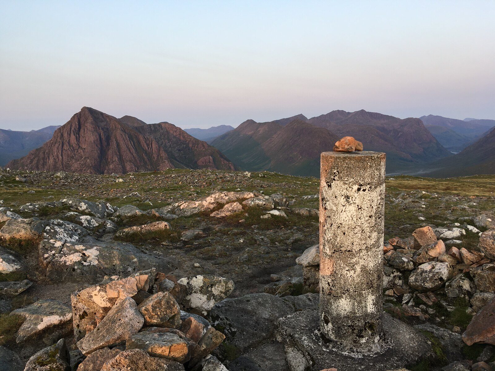
The walk starts from Altnafeadh on the A82, at the foot of the Devil's Staircase. It follows the West Highland Way east for a short way, then leaves it to climb beside a fence onto the broad west ridge of Beinn a' Chrùlaiste. Faint paths lead up over Stob Beinn a' Chrùlaiste and a boggy dip to the broad summit, with its trig point and cairn. The descent goes down the east side of the hill to the Allt a' Bhalaich and a track near the Kings House, and the walk returns west along the West Highland Way on the line of the old military road.
It is 11.4 km with 658 m of ascent; allow about 5 hours. The grade is Moderate, but most of the hill is rough heather and grass with intermittent paths.
The upper slopes are broad and featureless, so navigation in mist needs care. The descent towards the Kings House is very boggy; going back the way you came avoids it. The views of Buachaille Etive Mòr and across Rannoch Moor are the reward. Blackcorries Estate stalks deer here from mid-September to 20 October, except on Sundays.
Parking at Altnafeadh is free but limited. Citylink buses stop at the Kings House.
Route drawn by Global Adventurer along OpenStreetMap paths (© OpenStreetMap contributors, ODbL), with figures worked out from it. Check the forecast and the ground on the day: paths change.
Good to know
- Beinn a' Chrùlaiste is a Corbett looking straight across at Buachaille Etive Mòr
- The return follows the West Highland Way from near the Kings House
Summits on the way
- Beinn a' Chrulaiste 857 m
Getting there
Start: Altnafeadh. 56.66462, -4.90371
Places to stay nearby
Rooms in and around Corrour: Booking.com → Expedia →
Affiliate links: if you book, Global Adventurer earns a small commission at no cost to you.
Paths change, and the weather decides the day. The line and figures come from OpenStreetMap and our own checks; take a map, check the forecast, and turn back if it isn't right.