Line © OpenStreetMap contributors (ODbL), checked by Global Adventurer.
The walk
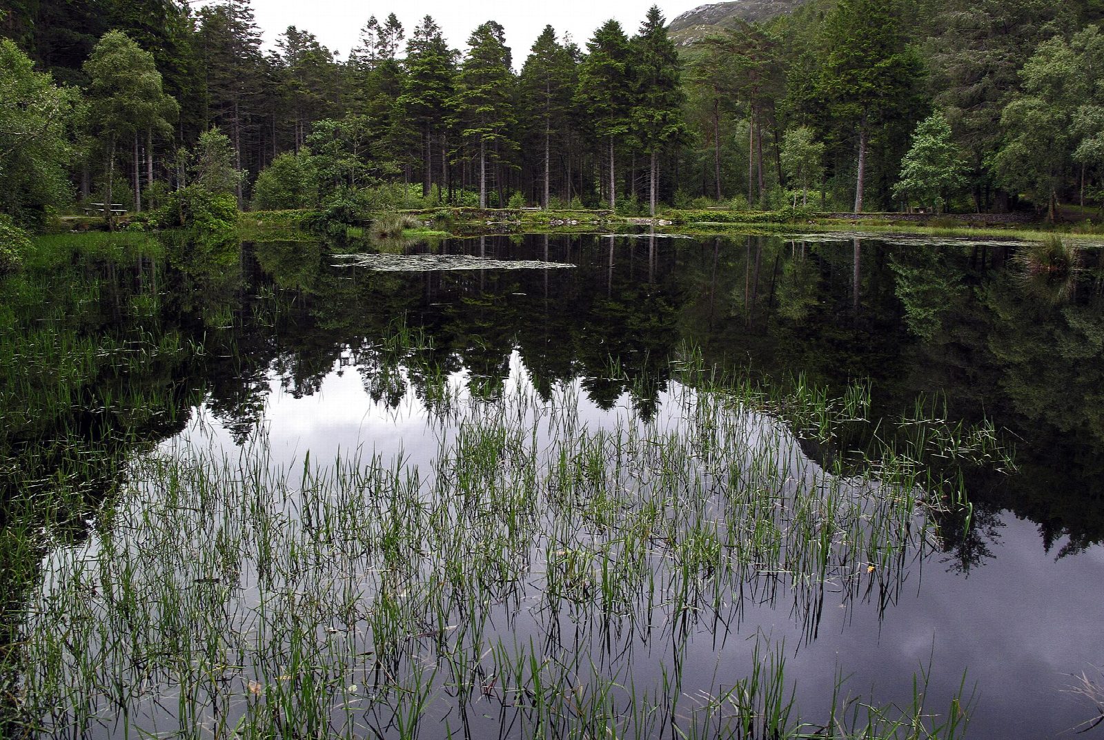
The walk starts from the Glencoe Lochan car park, reached by the minor road east of Glencoe village towards the Clachaig Inn. It follows the blue-marked Mountain Trail first, climbing steeply through the trees to a picnic table with a view over Loch Leven, then drops to the lochan. The path goes round the north end and down the west shore, with views across the water to Beinn a' Bheithir and of the Pap of Glencoe, often reflected in the lochan. A yellow-marked woodland path then makes a loop through the trees to the west before returning to the car park.
It is 2.6 km with 86 m of ascent; allow about 1 hour. The grade is Easy: short, on good waymarked paths, with one steep climb at the start.
The lochan and its woods were made by Lord Strathcona for his Canadian wife, to remind her of home; Glencoe House later served as the local hospital. The lochside path is level and suitable for wheelchairs, and there are wooden platforms built out over the water.
Parking is free. Buses from Fort William stop in Glencoe village, about 1 km away.
Route drawn by Global Adventurer along OpenStreetMap paths (© OpenStreetMap contributors, ODbL), with figures worked out from it. Check the forecast and the ground on the day: paths change.
Good to know
- Three short waymarked trails around a lochan and woods planted by Lord Strathcona
- The lochside path is suitable for wheelchairs
- The Pap of Glencoe is often reflected in the water
Getting there
Start: Glencoe Lochan car park · Free parking. 56.68759, -5.09665
Places to stay nearby
Rooms in and around Fort William: Booking.com → Expedia →
Affiliate links: if you book, Global Adventurer earns a small commission at no cost to you.
Paths change, and the weather decides the day. The line and figures come from OpenStreetMap and our own checks; take a map, check the forecast, and turn back if it isn't right.