Line © OpenStreetMap contributors (ODbL), checked by Global Adventurer.
The walk
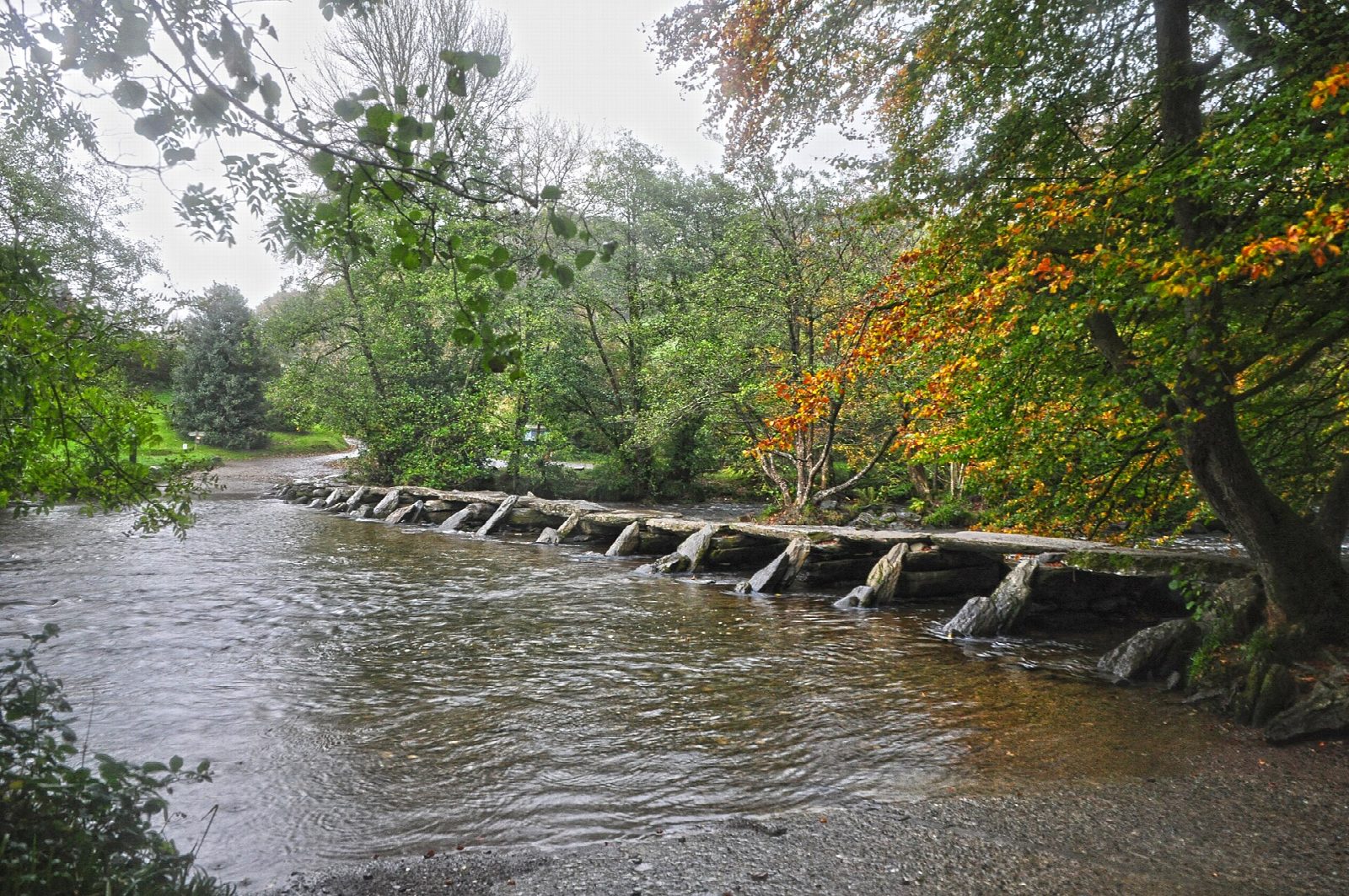
From the National Park car park the walk drops to Tarr Steps, a clapper bridge of 17 spans across the River Barle, and crosses it. A path follows the west bank upstream through the woods past Hinds Pitt, where the footbridge is closed, and on to Great Bradley and Withypool, which has a pub and a tea room. The way back climbs south over the hill by Westwater Farm and Parsonage Farm, then drops down a lane to Tarr Steps.
It is 13.0 km with 289 m of ascent; allow about 4 hours. The grade is Moderate. The return is mostly on lanes, some of them steep.
The Barle rises quickly after rain, and Tarr Steps itself is closed or under water in flood. The riverside path is muddy and has small stream crossings. Sheep graze the farmland and the hill, so keep dogs on leads near stock.
Tarr Steps car park is run by the National Park and charges a fee; there are toilets. There is no station near; the nearest is Tiverton Parkway, about 25 km away.
Route drawn by Global Adventurer along OpenStreetMap paths (© OpenStreetMap contributors, ODbL), with figures worked out from it. Check the forecast and the ground on the day: paths change.
Good to know
- Tarr Steps, a clapper bridge of 17 spans over the River Barle
- Up the west bank of the Barle through the woods to Great Bradley and Withypool
- Back over the hill by Westwater and Parsonage Farm
- The Hinds Pitt footbridge is closed: this walk keeps to the west bank
Getting there
Start: Tarr Steps car park · Pay and display. 51.07936, -3.61084
Places to stay nearby
Rooms in and around Tiverton Parkway: Booking.com → Expedia →
Affiliate links: if you book, Global Adventurer earns a small commission at no cost to you.
Paths change, and the weather decides the day. The line and figures come from OpenStreetMap and our own checks; take a map, check the forecast, and turn back if it isn't right.
