Line © OpenStreetMap contributors (ODbL), checked by Global Adventurer.
The walk
From Bottom Meadow car park in Lynton the walk climbs to the North Walk, a path cut into the steep cliffs high above the Bristol Channel. It comes out at the Valley of Rocks, a dry valley of crags and tors, and climbs Castle Rock for the view over Wringcliff Bay. The valley road leads west to Lee Abbey, and a path climbs through the woods to South Cleave, high on the south side of the valley. The way back drops down Lydiate Lane into Lynton.
It is 7.4 km with 331 m of ascent; allow about 2½ hours. The grade is Easy. About a quarter is on roads, including the valley road to Lee Abbey.
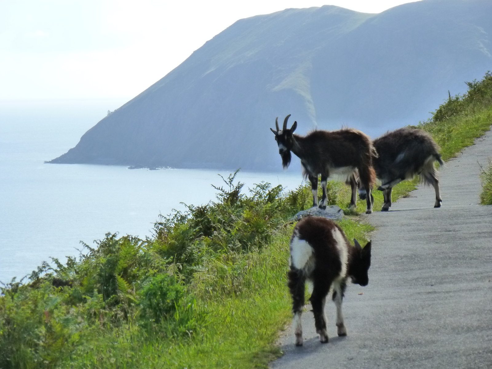
The North Walk and Castle Rock are close to sheer drops: keep children and dogs close. The approach to Castle Rock is rough and steep. Feral goats roam the rocks and paths; keep dogs on leads. The heath on the hillsides is open access land, where dogs must be on leads from 1 March to 31 July.
Bottom Meadow is a Town Council pay car park with toilets: £1.40 an hour or £14 all day on the 2025/26 tariff. There is no station near; the nearest is Barnstaple, about 24 km away.
Route drawn by Global Adventurer along OpenStreetMap paths (© OpenStreetMap contributors, ODbL), with figures worked out from it. Check the forecast and the ground on the day: paths change.
Good to know
- The North Walk, cut into the cliffs above the Bristol Channel
- Castle Rock and the Valley of Rocks, home to feral goats
- Along the valley road to Lee Abbey, then up through the woods to South Cleave
- Down Lydiate Lane back to Lynton
Getting there
Start: Bottom Meadow car park, Lynton · Pay and display. 51.22841, -3.83348
Places to stay nearby
Rooms in and around Bottom Meadow car park: Booking.com → Expedia →
Affiliate links: if you book, Global Adventurer earns a small commission at no cost to you.
Paths change, and the weather decides the day. The line and figures come from OpenStreetMap and our own checks; take a map, check the forecast, and turn back if it isn't right.
