Line © OpenStreetMap contributors (ODbL), checked by Global Adventurer.
The walk
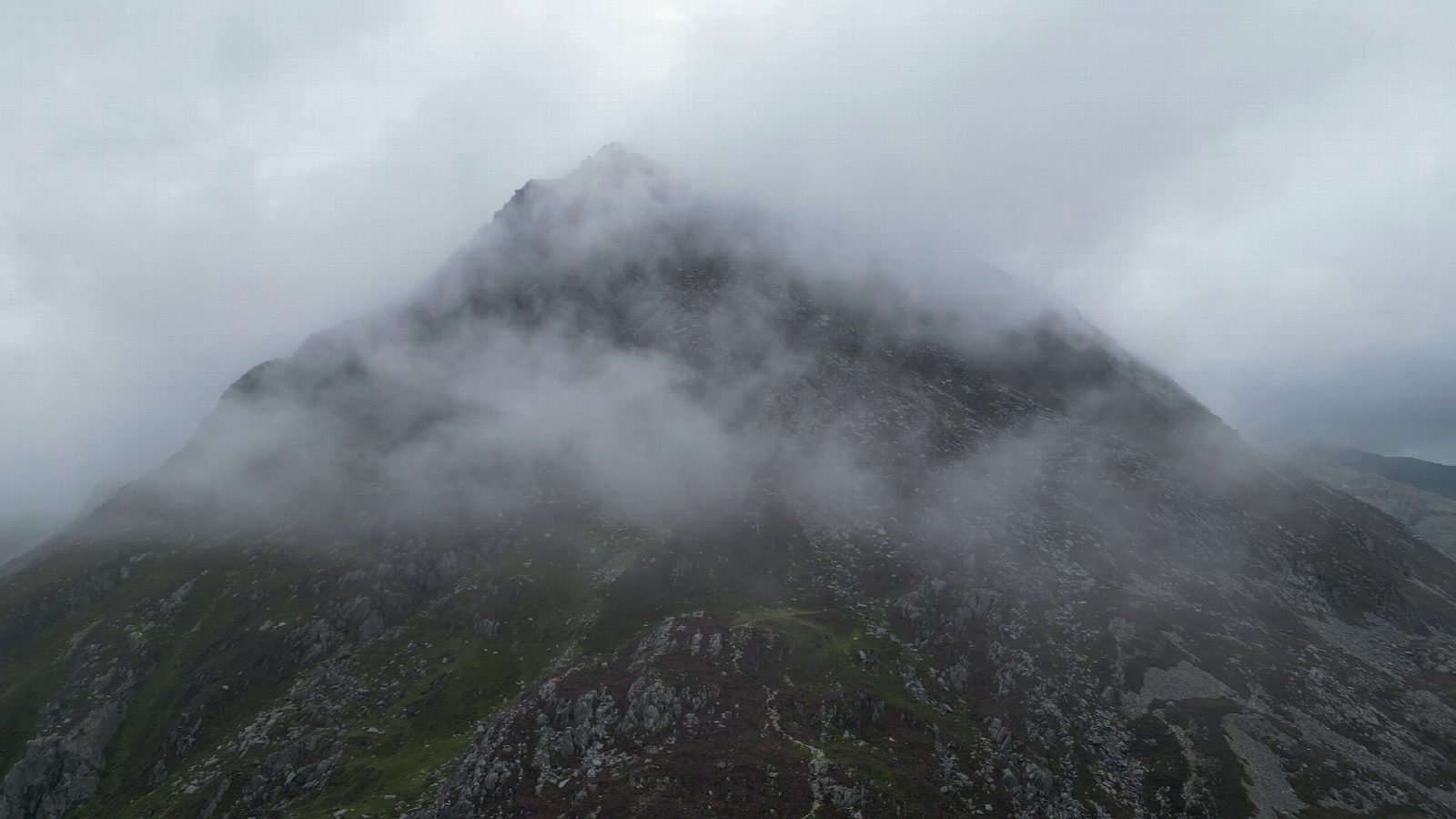
The walk starts from the roadside at Glan Dena, by Llyn Ogwen, and goes out and back over the roof of the Carneddau. It climbs past Ffynnon Lloer and up the east ridge of Pen yr Ole Wen (979 m), the walkers' way rather than the steep south ridge, then goes over Carnedd Dafydd (1,045 m) to Carnedd Llewelyn (1,062 m), the highest of the Carneddau and the third highest mountain in Wales. The two Carnedds are named, by tradition, for the last native princes of Wales.
It is 14.8 km with 1,073 m of ascent; allow about 7½ hours. The grade is Strenuous: a long day, most of it above 900 m, with a steep climb and descent at either end.
The ridge is exposed and has few landmarks in mist. Carry a map and compass, check the mountain forecast and be ready to turn back early. In winter this is a serious mountain day needing ice axe, crampons and experience.
There is no car park at the start: people park in the lay-bys beside the A5. Roman Bridge station is about 10 km away in a straight line. There are no mapped water sources on the route.
Route drawn by Global Adventurer along OpenStreetMap paths (© OpenStreetMap contributors, ODbL), with figures worked out from it. Check the forecast and the ground on the day: paths change.
Good to know
- Carnedd Llewelyn is the highest of the Carneddau and the third highest mountain in Wales; Carnedd Dafydd is the fourth
- Up the east ridge of Pen yr Ole Wen from Ffynnon Lloer, the walkers' way, not the steep south ridge
- A long, high ridge walk over the roof of the Carneddau and back
- Named, by tradition, for the last native princes of Wales
Summits on the way
- Carnedd Fach 960 m · passed close by
- Carnedd Dafydd 1,045 m
- Carnedd Llewelyn 1,062 m
- Pen yr Ole Wen 979 m
Getting there
Start: Glan Dena, Llyn Ogwen (A5 lay-bys). 53.12580, -3.99176
Places to stay nearby
Rooms in and around Glan Dena: Booking.com → Expedia →
Affiliate links: if you book, Global Adventurer earns a small commission at no cost to you.
Paths change, and the weather decides the day. The line and figures come from OpenStreetMap and our own checks; take a map, check the forecast, and turn back if it isn't right.


