Line © OpenStreetMap contributors (ODbL), checked by Global Adventurer.
The walk
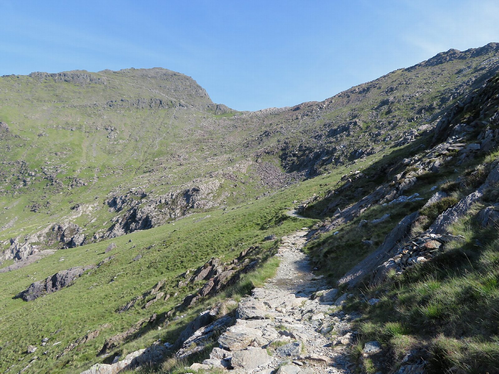
The walk starts from the Pont Bethania car park in Nant Gwynant. Cross the main road to the Watkin Path, signed beside the entrance to Hafod y Llan farm. It climbs through woods into Cwm Llan, beside waterfalls, and goes on past Gladstone Rock and the ruined barracks of the South Snowdon slate quarry. The path then swings up steeply to Bwlch Ciliau, turns left along the ridge to Bwlch y Saethau, and climbs a steep, loose slope to a standing stone on the Rhyd Ddu Path, just below the summit of Yr Wyddfa. The return is the same way.
It is 13.3 km with 1,023 m of ascent; allow about 7 hours. The grade is Hard: this is one of the longest of the main paths and has the most climbing.
The last slope below the summit is extremely steep and loose underfoot, and needs care both up and down. On the way back the Watkin Path does not leave from the top: it starts at the standing stone about 200 m down the Rhyd Ddu Path. In snow or ice this is a route for experienced walkers with the right equipment. The summit café, Hafod Eryri, opens only in the season and when trains are running.
The car park is pay and display, card only, and small: it fills early. The Sherpa'r Wyddfa S4 bus stops there.
Route drawn by Global Adventurer along OpenStreetMap paths (© OpenStreetMap contributors, ODbL), with figures worked out from it. Check the forecast and the ground on the day: paths change.
Good to know
- Opened in 1892 by William Gladstone, then Prime Minister; Gladstone Rock marks where he spoke to the crowd
- Named after Sir Edward Watkin, Liberal MP and railway owner; it passes the ruins of the South Snowdon slate quarry
- The most climbing of the main paths up Yr Wyddfa: about 1,000 m
- Bwlch y Saethau means the pass of the arrows
- The last climb from Bwlch y Saethau to the Rhyd Ddu Path is very steep and loose
Summits on the way
- Snowdon - Yr Wyddfa 1,085 m
Getting there
Start: Pont Bethania car park, Nant Gwynant · Pay and display. 53.03586, -4.04770
Places to stay nearby
Rooms in and around Pont Bethania car park: Booking.com → Expedia →
Affiliate links: if you book, Global Adventurer earns a small commission at no cost to you.
Paths change, and the weather decides the day. The line and figures come from OpenStreetMap and our own checks; take a map, check the forecast, and turn back if it isn't right.
