Line © OpenStreetMap contributors (ODbL), checked by Global Adventurer.
The walk
The walk starts from the Haytor lower car park by the National Park visitor centre. It climbs to Haytor Rocks, passing between the two great outcrops, and drops to the flooded Haytor quarry. The granite tramway, its rails cut from the stone itself, leads north to Smallacombe Rocks. A steep, rocky path goes down to the clapper bridge over Becka Brook and climbs the far side to the deserted medieval village below Hound Tor. After the tor the way turns south past Greator Rocks, crosses the brook again and follows the tramway past Holwell Tor back towards Haytor.
It is 8.3 km with 340 m of ascent; allow about 3 hours. The grade is Easy. Most of it is on clear moorland paths and the tramway.
The paths into and out of the Becka valley are steep and rocky, and the ground at the medieval village is uneven. Ponies and sheep graze freely, so keep dogs on leads. In mist the open moor between the tors is easy to get lost on.
The car park is a National Park pay car park; the Hound Tor car park on the route is free. Both get very busy. There is no station near; the nearest is Newton Abbot, about 12 km away.
Route drawn by Global Adventurer along OpenStreetMap paths (© OpenStreetMap contributors, ODbL), with figures worked out from it. Check the forecast and the ground on the day: paths change.
Good to know
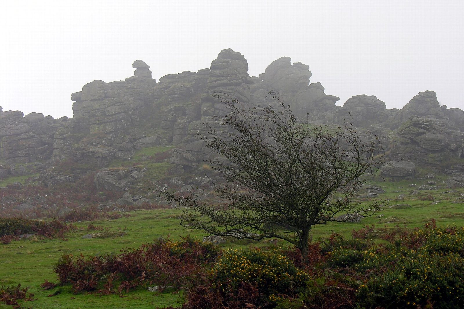
- Haytor Rocks, the best-known tor on Dartmoor, and the granite quarries that supplied London Bridge
- Along the granite tramway, whose rails were cut from the granite itself, then down to the clapper over Becka Brook
- Hound Tor's deserted medieval village and the tor said to have inspired The Hound of the Baskervilles
- Back past Greator Rocks and Holwell Tor
Summits on the way
- Haytor Rocks 457 m
- Smallacombe Rocks · passed close by
- Hound Tor 419 m
- Greator Rocks 374 m
Getting there
Start: Haytor lower car park · Pay and display. 50.58078, -3.74521
Places to stay nearby
Rooms in and around Newton Abbot: Booking.com → Expedia →
Affiliate links: if you book, Global Adventurer earns a small commission at no cost to you.
Paths change, and the weather decides the day. The line and figures come from OpenStreetMap and our own checks; take a map, check the forecast, and turn back if it isn't right.